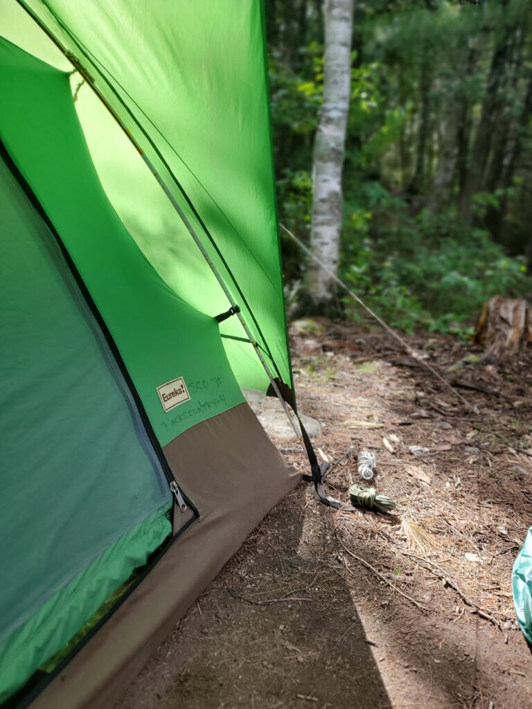
8/15/24 – A few days ago Nathan and Amy Dalager reached out with the following story that was just too good not to share. -Jessica
As newlyweds, we did a Cherokee-Frost-Hub Lake loop out of Sawbill Outfitters and decided to splurge on a tent from your used equipment merchandise instead of using our little discount store tent. It felt like a big investment and we hoped that it would turn out to be worth the money.
Fast forward to this summer. We just returned from yet another BWCA adventure using that tent. We cannot count the number of times it has been used–many more BWCA trips, car camping, kid sleepovers in the backyard…our three kids grew up with the “green tent” and after its short life as a rental followed by 25 years of constant (not always gentle) use, it has only needed minimal repairs and a few screen patches. It is still going as strong as ever. That tent has kept us warm, dry, and cozy for 25 years, with no end in sight.
Thank you so much for the quality gear, and don’t hesitate to use our story if some newlyweds ever come into your shop and wonder if used gear will be worth the investment!
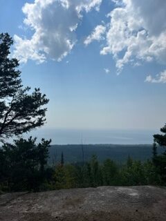
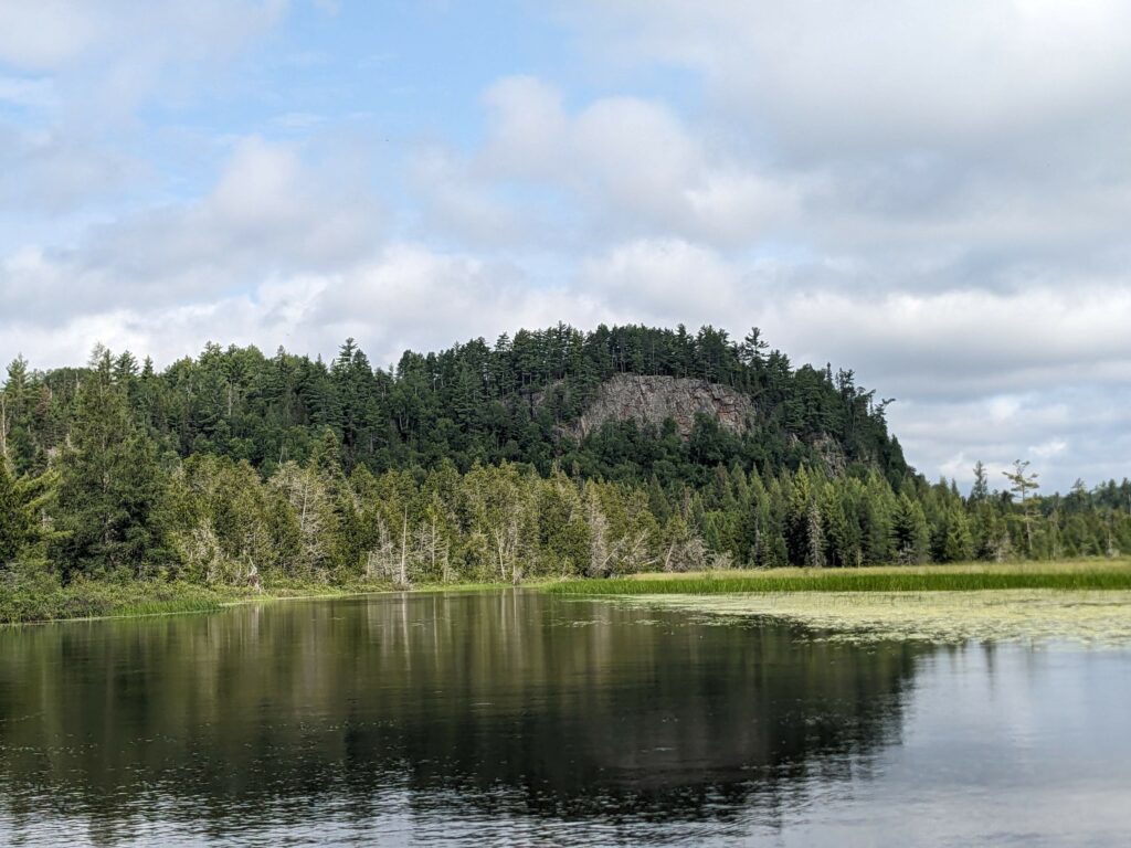
8/13/24 – We get asked all of the time about hikes in our area and we have loads of options. These can be great day trips if you are staying in our campground and want to switch it up from paddling or they can be done wherever you can squeeze them in before or after a trip. I am going to highlight three in our area, however, there are also tons of options along the shore and highway 61 as you are making your way up to Sawbill.
View of Lake Superior from Carlton Peak taken (8/12/2024)
The first two, Carlton Peak and Britton Peak, have their trailheads on the Sawbill Trail itself, just a few miles up from Tofte. For both of these hikes, you can park in the parking lot for Britton Peak, but the trail for Carlton is just across the street from that parking lot. Carlton Peak is a roughly 3 mile out and back (1.5 miles each direction) trail that gives you great views of Tofte, Lake Superior, and the surrounding forest. It has some elevation, but is great for hikers of all ages. Right before you reach the summit there is also a turn for the Ted Tofte Overlook which gives you an even better view of the forest North East of the summit, and of the summit itself. This hike takes roughly an hour and a half, but could be more or less depending on pace. Britton Peak is much shorter to reach the summit, only about a quarter mile, but it is quite steep. There are also a number of mountain biking trails that start at the Britton Peak trailhead, however, bikes are not allowed on the Carlton Peak trail.
View from the Tofte Overlook along the Carlton Peak Trail (taken 8/12/2024)
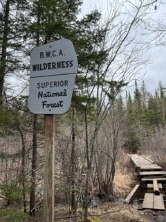
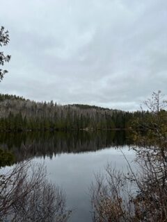
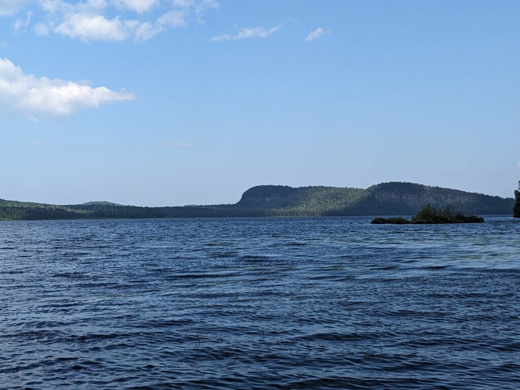
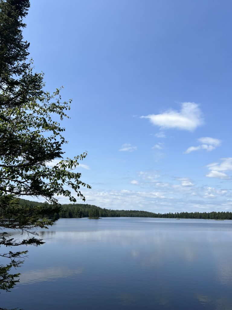
The last hike is Eagle Mountain, the tallest point in Minnesota. To get to Eagle Mountain from Sawbill, you will go down the Sawbill Trail until the road widens and at this point turn left on The Grade. The trailhead is down that road past the turn for the Brule/Homer entry points, past the Caribou Trail, and across from the Bally Creek Road. This is another out and back hike, however, it is longer at roughly 7 miles total (3.5 miles each way) so it generally takes more than 3 hours to complete. This hike goes into the Boundary Waters Canoe Area Wilderness and follows the Brule Lake Trail, so you will need to fill out a day use permit before starting the hike and cannot be in groups larger than 9 people. This hike is another very beautiful trail that takes you along lakes, across marshy areas, and finally up the mountain to the tallest point in Minnesota.
Entering the BWCA Wilderness on the Eagle Mountain Trail (taken 4/30/2024)
Whale Lake along the Eagle Mountain Trail (taken 4/30/2024)
These are only a few of the many incredible hikes on the North Shore, but hopefully give some options of hikes to do in the Sawbill Area! Happy Hiking! -Anna
8/8/24 – News today from the USFS that the Tofte and Gunflint Ranger Stations are shifting their open hours. Effective immediately both Ranger Stations will be open Wednesday through Sunday 8 am – 4:30 pm. They will be closed Mondays and Tuesdays. If you have reserved a permit to pick up at either location on a Monday or a Tuesday, you should be making alternative arrangements. There are a few pickup locations in Duluth, as well as myriad outfitters who can also issue permits. All you need to do is call the Ranger Station and let them know your permit number and where you’d like to pick it up.
Here at Sawbill we regularly issue BWCA permits, and are happy to do so! No matter if you’ve reserved gear with us or not, we are glad to get you your permit, answer any questions, and get you on your way with the information you need for a successful trip (and we don’t charge a fee for any of this). We are open from 7am – 9pm, seven days a week. We can issue permits same day, or the day before your entry date. So if you need a permit pickup, please don’t hesitate to call the Tofte Ranger Station at 218-663-8060 and tell them to send it to Sawbill Canoe Outfitters.
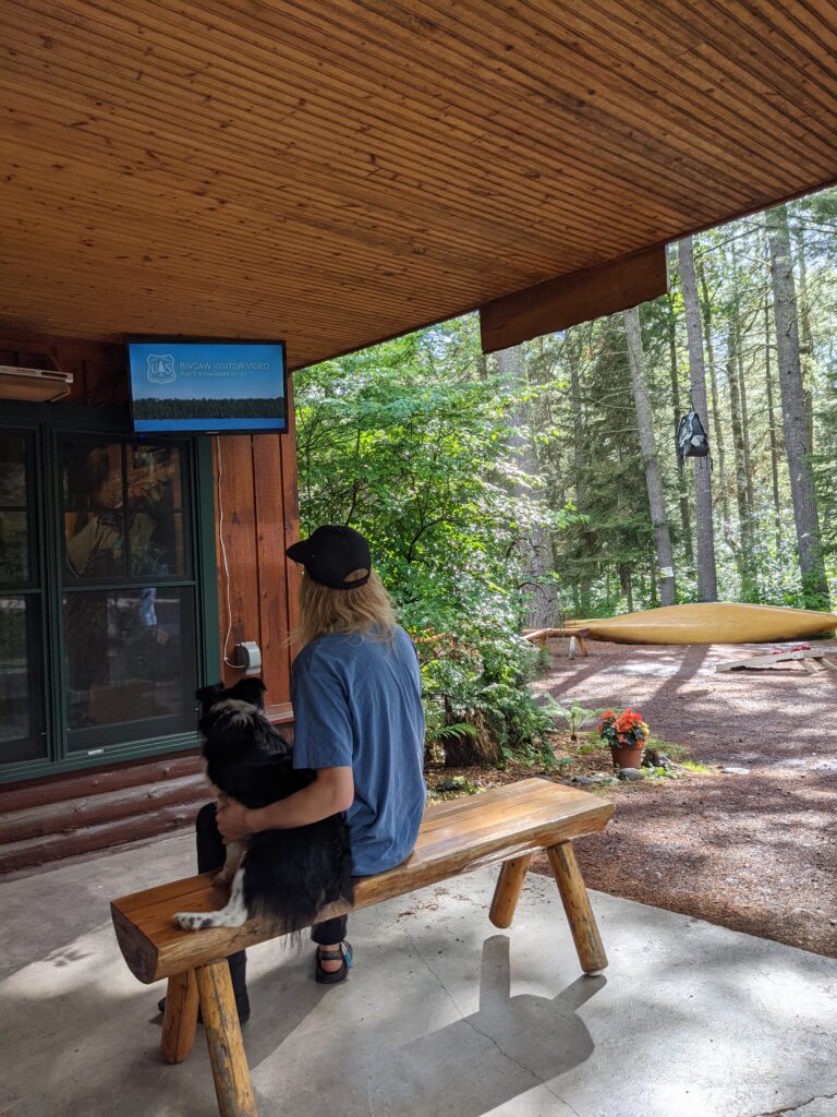
We have a convenient covered outdoor video viewing spot, and shop dog Chile may even join you on the bench.
If you’re new to Sawbill, we are located right on the Sawbill Lake entry point. That’s 24 miles up the Sawbill Trail which begins in Tofte. We’ve been here for 68 years through three generations of family ownership so if you’re looking for up to date information on all things BWCA related in the Tofte District, we’re your go-to spot. You only have to backtrack 5-6 miles down the Sawbill Trail to head towards all other Tofte area entry points (apart from Sawbill of course), and if you’re lucky you’ll spot a moose or lynx along that stretch of road. We love what we do here and it’s truly our privilege to help folks get into the BWCA.
8/5/24 – We have a new face here at Sawbill! Our campground host, Suz, got to pick up her other dog, Mariah. Suz traveled to Wisconsin the other day to get Mariah from her most recent dog show. We’ve all been excitedly awaiting Mariah’s arrival! Mariah has been spending the last month or so traveling to different shows trying to earn enough points so she could take a break and enjoy the rest of the summer as one of the many Sawbill dogs. You’ll see Suz, Atticus, and now Mariah, at site 17, walking around the campground, or cruising in the golf cart.
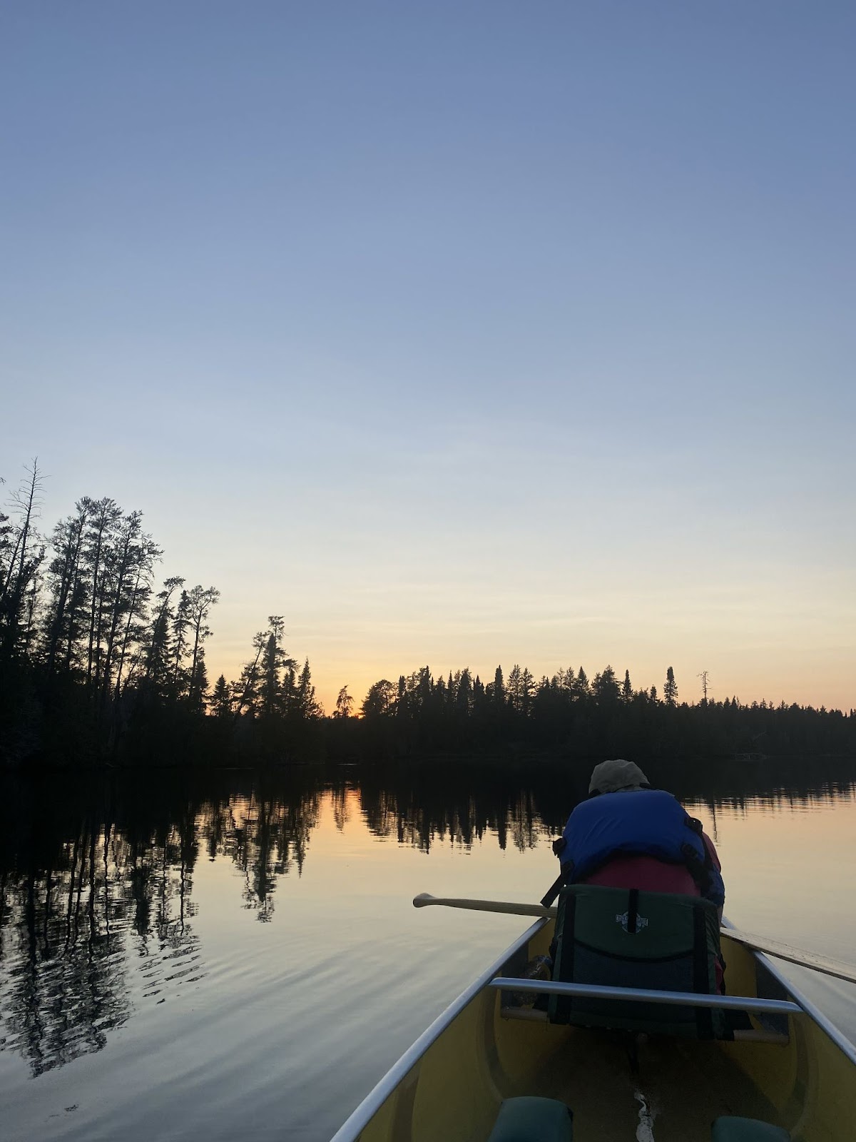
Day 1 – I finished packing the morning of my trip. Piling into my car at 10 am, I took off towards my entry point, North Fowl. North Fowl is located at the farthest east point in the BWCA. To get there I have to drive up Hwy 61 past Grand Marais to Hovland. Turning away from Lake Superior up County Road 16, I drive another 15 to 20 miles to McFarland Lake public access. I am on the water by 12:30 pm, the sun is high above me and the wind is calm. This isn’t my first solo trip, but it is the furthest away from Sawbill I’ve gone for a solo. As usual, my anxiety is rearing its ugly head. I do my best to ignore it and paddle on. My first portage is unmarked on the map. I imagine on a lower water year, the rapids are easier to pass through, but I wasn’t willing to find out if I could run it. Unfortunately, I sliced the side of my foot on this portage right at the end of it. Fortunately, it wasn’t bad. Carrying on into John Lake, I paddle for 5 minutes to the next portage. This one is 60 rods. The downside to soloing is I get to carry everything on the portages. I do my best to single portage when I can. As I walk with a canoe on my shoulders, my equipment pack on my back, and my day/food pack on my front, I fall into comfortable silence. Birds call. Slowly the pain in my shoulders grows and I remind myself that it’s just like I’m walking up and back on the portage to Alton from Sawbill. That’s all, keep walking, it’ll end soon.
Stepping out into the Royal River, I set my gear down and loaded up the canoe. It seems like this area would be great to travel in late July and early August because there are a lot of thimbleberry bushes along the portages. Royal River winds south east for a mile before opening up into Royal Lake. About 700 ft before I got into Royal Lake, a strange thing occurred. As I mentioned before, the wind was calm at this point in the day. A slight rustling of the tree leaves above but nothing more. Suddenly I heard a buzzing or whistling sound mixed with the sound of strong wind. A small, twister-like form appeared in front of me about 100 ft out. It lifted water off the surface and moved across the width of the river and up through the jack pines, red cedar, and black spruce that lined the shore around me. From what I’ve been told, these are called water spouts when they happen on Lake Superior. As quickly as it started it ended. By this point my nerves were electrified. I wanted to turn around and leave right then. But, not wanting to let myself down, I paddled on. Royal Lake is mostly reeds. I rose up from my kneeling position to navigate myself through the grass. To the south of me, the surface of the lake cleared up, allowing a pair of trumpeter swans to scrounge around for food.
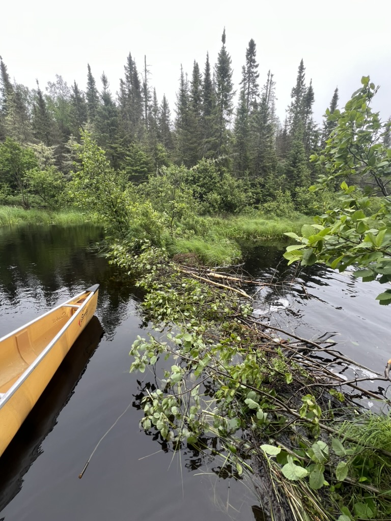
As lake transitioned back to river, the current picked up. Luckily, the portage landing was very visible and happened to be right before a beaver dam. 90 rods of mud. Again, there were a large number of thimbleberry bushes. Thimbleberries are one of my favorite fruits. The portage ended where the river was still moving fast. I thought, at first, that the portage maybe went further along the bank, so I put my stuff down and slowly looked around in the woods beyond. Did I really have to try to paddle these rapids? Yes, I decided. Turning back, I carefully put the canoe into the water, and loaded up my pack. Slowly I sat in the canoe. Turns out, it was pretty straightforward to paddle with the current. Hopefully I won’t have to come back this way. I can’t imagine trying to paddle against the current. After the current dies down, I enter North Fowl Lake. There are a few islands ahead and to the right of me blocking most of my view. All I can see is that the lake will open up once I get around the point 100 yds ahead of me. To my surprise, as I round the bend, three small docks come into view. Up from each of the docks, there are a few small, rustic cabins nestled in the woods. Around the next small point, there are some more docks. Two of the cabins have a motor boat tied to their respective docks. I could tell that at least one of the cabins was being actively used because I could hear music coming from inside. I had expected to be alone on this trip for the most part except the occasional other group of BWCA travelers.
The way my anxiety shows itself is by giving me a sense of foreboding. I feel as though something terrible will happen to me and I’ll die alone without being able to help myself or get help. As much as I wanted to be alone on this trip, the knowledge that there was someone else around that could potentially save me lessened my anxiety. I feel silly admitting all of this, but I know it’s out of my control. I will eventually learn how to handle these feelings. It’ll take time and practice.
The wind was picking up a little bit by this point. It was 2:30 pm. The wind was coming out of the East/Southeast. I was able to move quickly with the waves. There were patches of aquatic grass that I paddled through. Soon, there were multiple dozens of blue damselflies flying alongside me. It was magical. The deal with North Fowl as an entry point is the only way you are considered in the wilderness area is if you either move on to Moose Lake, or camp at the northernmost site on North Fowl. I was looking for the site when I spotted a hole in the tree line that I was currently paddling quickly past. Oops, there it was! I quickly turned around and paddle hard against the wind and waves that I was now moving into. The landing to the site was sandy with smaller rocks and mud lining the shore. It was about 3:30 pm by the time I finally got all of my gear up into the campsite.
The fire grate on the only level spot in the campsite.
Looking into the campsite from the landing.
As far as campsites go, this one was average. I don’t really like rating sites, it seems to inflate people’s expectations of what campsite they can get and when all those “5 star sites” are taken they get disappointed. Nevertheless, I will say that the site on North Fowl doesn’t have much of a level spot to put a tent. Rating sites will also funnel groups to a smaller percentage of sites, causing more concentrated areas of impact instead of spreading out more (Don’t worry though, I too, still like to grab the best looking one when I can, just food for thought). Truthfully, the only real flat spot is the fire grate. It’s grown in a bit as well and would make for a great protected site for the fall. I spent my afternoon bouncing back and forth from trying to start a fire and swimming. I feel lucky in hindsight that it was not as warm and humid as it is now, but it certainly felt hot at the time. During one of my wades, I noticed that there was a boat launch across the lake from my site. Based on the map I had, I had no idea how people were meant to get there. As far as I knew, it was just forest over there. However after zooming in on google maps, it appears there is a dirt road that ends at the landing there. On occasion a motor boat would troll past. I found that all the boaters acted very respectful of the area and never sped past the site I was at. For dinner I had a white bean and kale soup from some freeze-dried camp food company. Had I elected to bring salt and pepper, I probably would have enjoyed it a bit more, but I was hungry and it was food, so good enough for me!
I tried once again to get a fire going before I went to bed, but all of the wood was pretty wet, so I constantly had to feed more kindling into the flame. At a certain point it no longer is worth the time. I crawled into my tent, carefully attempting to keep the mosquitoes out. I settled down and read until the light disappeared. As I closed my eyes for the night the loons and swans started calling. Unfortunately, the swans decided the best place to talk was right outside my site. Eventually I slept.
Day 2 – I never sleep through the night when I go on trips into the wilderness. This time was no different. As the sun rose, I found it more and more difficult to keep my eyes closed. Around 8 am, I rolled out of the tent and started packing up. Normally on solo trips, I can eventually calm myself enough to continue on. This time I was nervous from the moment I woke up. I decided to head back to the entry point. I was paddling back south by the time it was 9. Once again paddling past the surprise cabins, back up the rapids, which weren’t as terrible as I expected, back across muddy portages. I’ve never felt so disappointed in myself on a solo trip. Why couldn’t I just deal with the anxiety and push on? Maybe I should start taking my own advice to people going on their first solos. Start small. Do an overnight at a lake that is familiar. Build up your comfort and understand your limits. Push yourself when you know you can. I’m still glad I went out for a night at least; it was nice to get away from the hustle and bustle of Sawbill sometimes. Doing this trip still helps me work closer to my goal of being able to do longer solo trips in the future. It’s been a few weeks since I got back, and I no longer believe I let myself down. There are always setbacks as we try to learn a new skill. Hills to climb. I’ll just have to try again next year.
7/30/24 – It has been hot and humid here at Sawbill over the past week and it is forecasted to continue. While a lot of people are coming from south of us, where it is even hotter than up here, we don’t usually see this much heat for this long during the summer and while it is really nice and makes it feel even more like summer, it can also be really exhausting. Whether you’re staying in the campground or heading out into the wilderness for a canoe trip or just coming up for a visit, there are some things that you can do to help beat the heat and avoid getting dehydrated or something like heat stroke!
Wet landings at portages will be your friends, so it is so helpful that you need to get everything in and out of kevlar canoes while they are fully floating to avoid damaging the canoes. : ) Swimming is a great way to regulate your temperature as well, but if you don’t want to fully swim, even just wading in the water or soaking a sun shirt or buff and putting that back on can be extremely helpful. With that, make sure to drink enough water and if you are heading into the wilderness, don’t forget to bring a water filter. Too much water can also be an issue due to a lack of salt and electrolyte replenishing, so make sure that you are mindful about increasing salt and electrolyte intake as you sweat more in the heat. Also, sun exposure can be a problem, so sunscreen, a sun shirt, and a hat can make all the difference. Overall, enjoy the heat and the excuse to swim multiple times a day in all of the incredible water we have up here! -Anna
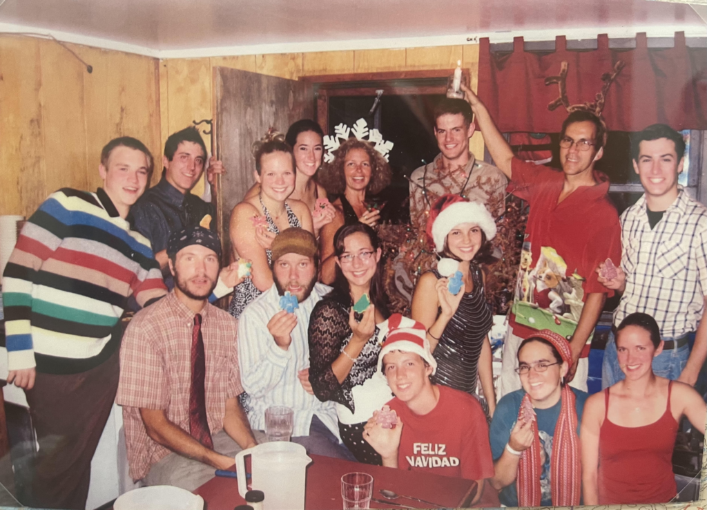
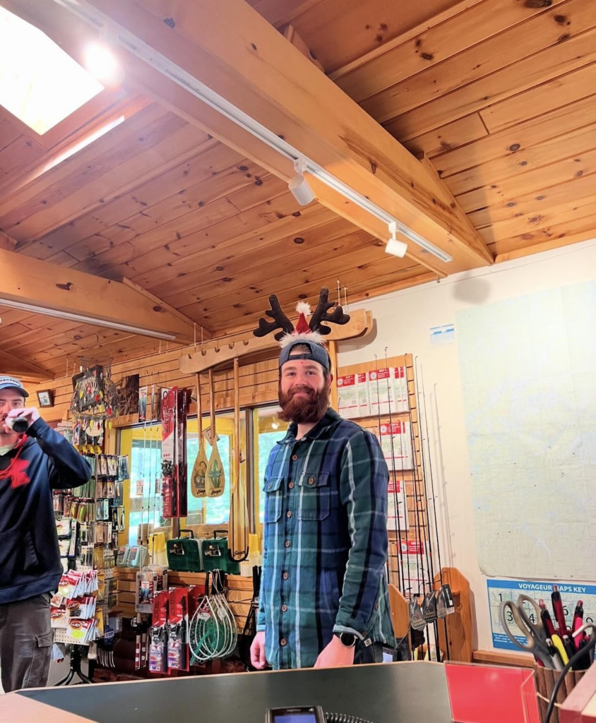
7/25/24- It is officially 364 days until our next Christmas in July celebration. Yesterday, all the crew joined in on the festivities and had an awesome “holiday”. Christmas in July has been a beloved Sawbill tradition for the last 18 years since 2006.
The first ever Christmas in July (2006)
Our “Christmas” traditions as a crew include decorations, Christmas sweaters, a Christmas tree, all the classic holiday tunes, and a special Christmas dinner. At Christmas dinner we open secret Santa gifts and it’s always a blast to see the whole crew show off their crafting abilities.
Evan in search of the perfect Christmas tree
Lauren showing off our tree!
Our lovely lil’ tree!
Grant and his fabulous antlers in outfitting
Sawyer and Chile at Christmas dinner
Santa Sig at Christmas dinner
Holiday joy and new gift bliss
If you stop into see us next year around July 24/25 you may get swept up in some holiday cheer too! -Luna
7/21/24 – A little over 2 weeks, our crew member Isabelle ventured out on her first ever solo canoe trip! She decided to do the Cherokee loop starting at Baker (EP 39) and ending here at Sawbill. Here is her trip report!
Day 1 (7/1/24):
The trip started at about 8 am when my fellow crew member and roommate, Luna, drove me to the Baker entry point. I was on the water by 8:30 and feeling good, the weather forecast looked great, and I was excited to try a new kind of adventure in an area of the BWCA that is relatively new to me. I didn’t have a plan for where I wanted to camp my first night since I wasn’t sure how fast I would travel solo. A quick paddle across Baker Lake brought me to my first portage (10 rd). This first portage was a little uncoordinated but helped me strategize my plan for the rest of the portages on my trip. After loading the canoe again, I paddled up Peterson Lake expecting to hit a 3rd portage on the way into Kelly Lake. With the amount of rain we have had in the early season water levels have been very high. This 3rd portage seemed to be built to bypass a beaver dam, but I was able to float over it very easily due to the high water (temps have begun heating up here at Sawbill and we’ve gone a week at least without any significant rain so this may no longer be the case. It is always best practice to get out of the canoe and portage around a dam when needed). I then continued to paddle up Kelly, saw a Bald Eagle, and started to settle into a flow for the day. I hit my next portage into Jack Lake (65 rd) and started to set a better system for consolidating my gear. I paddled up Jack and stopped at the portage into Weird Lake and had lunch. The water flowing from Weird Lake into Jack was going pretty strong with the higher water levels and it made a beautiful quick lunch spot.
I got back into my canoe around 1 pm and decided I was going to try to land on either South Temperance or North Temperance for the night. I paddled across Weird, portaged into a small unnamed lake, and then faced the longest portage on this loop. The 240 rd into South Temperance was long and a bit challenging but once I finished it I felt so proud of myself for pushing through and doing it alone. I paddled onto South Temperance and began scoping out sites and found that the two sites that are more directly in the path crossing the lake to the next portage were taken, so instead of paddling to the other corners of South Temperance I decided to continue to North Temperance. It was about 3 pm at this point and after a short 55 rd portage I was again scoping out sites. The first site right after that portage was open so I took it and decided to set up camp. This site is on the smaller side but is perfect for one person. I settled in a bit and the reality of what I was doing began to set in.
I have been coming up to the BWCA since I was 5 years old and feel very comfortable in Minnesota’s Northern Wilderness. Having freshly turned 20 and being out here alone brought out some new feelings that I hadn’t experienced before on trips. I had only seen 2 other people on my journey this first day and I felt very isolated once I set up camp. Looking at the map and seeing how far in I was, I could feel the dense forest surrounding me and some anxiety set in. I decided to go for a swim to see if that would ground me a bit, and then I ended up crawling into my tent and reading until hunger from the day’s adventure pulled me out. I made my dinner and paced around my site swatting away the mosquitos. I packed up dinner and made sure camp was all zipped up. It was quite cloudy in the evening so alas no sunset to watch. I again ventured back into my tent and read until I couldn’t keep my eyes open.
Day 2 (7/2/24):
I woke up around 7 am and debated my plan for the day. I had two options I was considering, heading to Cherokee Lake and setting up camp there and having a chill day at camp, or pushing through back to the northern part of Sawbill. I made breakfast and checked the weather forecast on my Garmin. It looked like the misting rain I woke up to was going to persist for most of the day. I decided that I would rather travel through the mist and spend the next day with some beautiful weather at camp, so I decided I was going to paddle through Cherokee to Sawbill. I was on the water by 9:30 am and began my second day of travel. I portaged (105 rd) into Sitka Lake, watched a pair of loons while I had a snack, and then portaged again (140 rd) into Cherokee. I paddled across the lower part of Cherokee, appreciating some beautiful moss-covered rocks and keeping my eyes peeled for Moose. Another Sawbill crew member, Feliks, did the Cherokee loop a few weeks prior to my trip and saw a moose and her calf. Additionally, a few returners also reported seeing moose on the southern part of Cherokee, so if you’re heading up that way soon you may be lucky enough to catch a glimpse of them.
What I saw of Cherokee was beautiful, the lakes up until this point had been mostly swampy and it was nice to see some bigger rocks again. I paddled through Cherokee Creek following a few ducks and appreciated how beautiful this section was. There was a beaver dam that I needed to exit the canoe to get over, but was able to pass without a lot of difficulty. Once I was through the creek I portaged into Skoop Lake (180 rd) and paddled over to shore so I could sit in the canoe and eat a quick lunch. After a short paddle across Skoop, I prepared for my last longer portage on this loop. With the high water levels this portage, which is supposed to be 110 rds, ended up being about 30 rds. The portage ended quickly with a clear place to put in a canoe and no path to the left or right. We’ve been hearing reports of this from other returning paddlers; the high water levels at this time have definitely been playing a major role in changing this area.
After paddling through the marshy area that was supposed to be a portage I was in Ada Lake. After another quick paddle across this lake, it was time for one 80 rd portage, another short paddle down a creek, and then the final 80 rd portage back into Sawbill. It was around 12:45 when I began my paddle on Sawbill and started scoping out a site for the night. There was a slight headwind so I decided to scope out the northern sites, and I ended up snagging the only island site on Sawbill. This site was one that I stayed at on a trip when I was a younger child, and it was amazing to be able to stay on that site again some 13 years later. I set up camp and hung out until It was time to make dinner. Free time at camp when you’re alone I found to be a very different experience than trips with other people around. I found myself feeling kind of lonely and reading a lot. Once I deemed it an appropriate time to make dinner I settled onto one of the big rocks that this site has to offer and made myself a feast. Then I straightened up camp and headed into my tent for bed.
Day 3 (7/3/24):
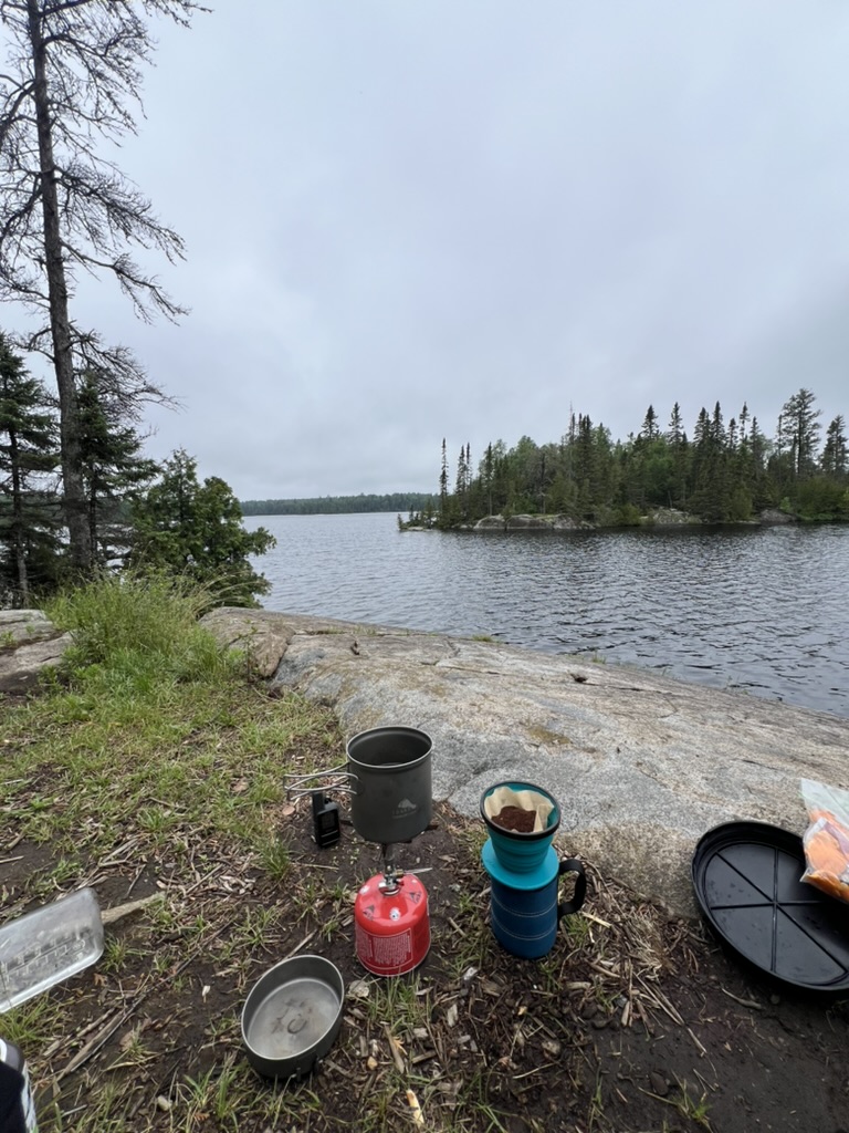
I woke up bright and early on my last day at about 5:30, and knowing I only had to paddle down Sawbill I decided to have a slow morning. I lay in my tent reading for a while until I was hungry enough to venture out of my tent. I set up my coffee so it would be ready to brew once I finished a morning swim. Refreshed, I sat, drank my coffee, and enjoyed the view, then began to make breakfast. Once I was fueled for the day I packed up camp and set out on the water. Battling another headwind on Sawbill I began my paddle back. The wind wasn’t too bad until I padded past the boundary marking the beginning of the wilderness. Once I passed that island the wind was much stronger. After a tiring paddle, I portaged my canoe and gear back up to Sawbill and began the joys of unpacking from a trip, with a wonderful welcome home from my fellow Sawbill crew.
This experience was a very new one for me but I knew going into this summer that I wanted to try a solo trip. I think with any alone time there is an art to it, not being too in your head, and honoring how special it is to be with yourself. There were many times on this trip that I found myself trying to keep busy or find things to do to fill the gaps that others normally fill. The jury is still out for me on just how much I enjoy solo trips over group trips. But all in all this trip was a wonderful experience and I am so grateful to be blessed with the opportunity to continue to spend time in the BWCA.
As our crew continues to go on trips into the BWCA throughout the rest of the summer and fall season we will keep updating the newsletter with trip reports like this one. If you ever have questions about routes and about crew members personal experience in the lovely BWCA and Sawbill area please don’t hesitate to call and ask or chat with us in the store. -Luna
7/17/24 – July 5th, Owen and I pack for our trip down the Granite River. The Granite River runs from Saganaga (big Sag) Lake at the end of the Gunflint Trail to Gunflint Lake 10 miles south as the crow flies. Owen has never been up the Gunflint and I have never been to the east of big Sag. That night we had a site at Trail’s End campground. After much lollygagging and slow packing up, we finally head out towards the end of the Gunflint Trail. We drive separately so we can drop off one of our cars at our exit point at the Gunflint Lake public access. The Poplar Haus was our choice for dinner and we rolled into our site around 7 pm. Due to the bugs, we played cribbage in the tent for a while before heading to bed to get one last good nights sleep for our trip the following day.
The Saganaga Falls going over the edge behind us.
Looking out across Sag.
We woke up between 8 and 8:30 am and hit the water shortly after. What luck we had on our paddle north on Saganaga Lake! The lake was so calm which is not always the case on big lakes like that! Owen and I got to our first portage between 10:30 and 10:50 am The first portage was short but was overgrown a bit. It was still easy to follow though. After another 20 minutes of paddling, we go to our next portage. This portage was on the Canadian side of the border and ran along the Horsetail Rapids. Due to the higher water levels, getting to the portage landing was a little bit trickier than in other normal years. As we had learned before we left that morning from an outfitter that we stopped at to ask questions, we were paddling against the current. The rapids moved fairly quickly but we were able to land without trouble. This portage was a beautiful walk through some red cedars. The far side of the portage put us into Maraboeuf Lake. Maraboeuf Lake runs north to south for about 2 miles. All of the BWCA sites are in the southern third of the lake. The 2007 Ham Lake fire burned through this area, so there are a lot of bright pink granite rock faces visible on the hills surrounding Maraboeuf. Even 17 years later, the destruction of the fire is still visible. I wish I had been able to see what that area looked like beforehand and a year later. As we paddle along about to exit Maraboeuf, we come along a narrow section of the river. There are small cliffs that run into the water along both sides.
Looking south down Maraboeuf Lake.
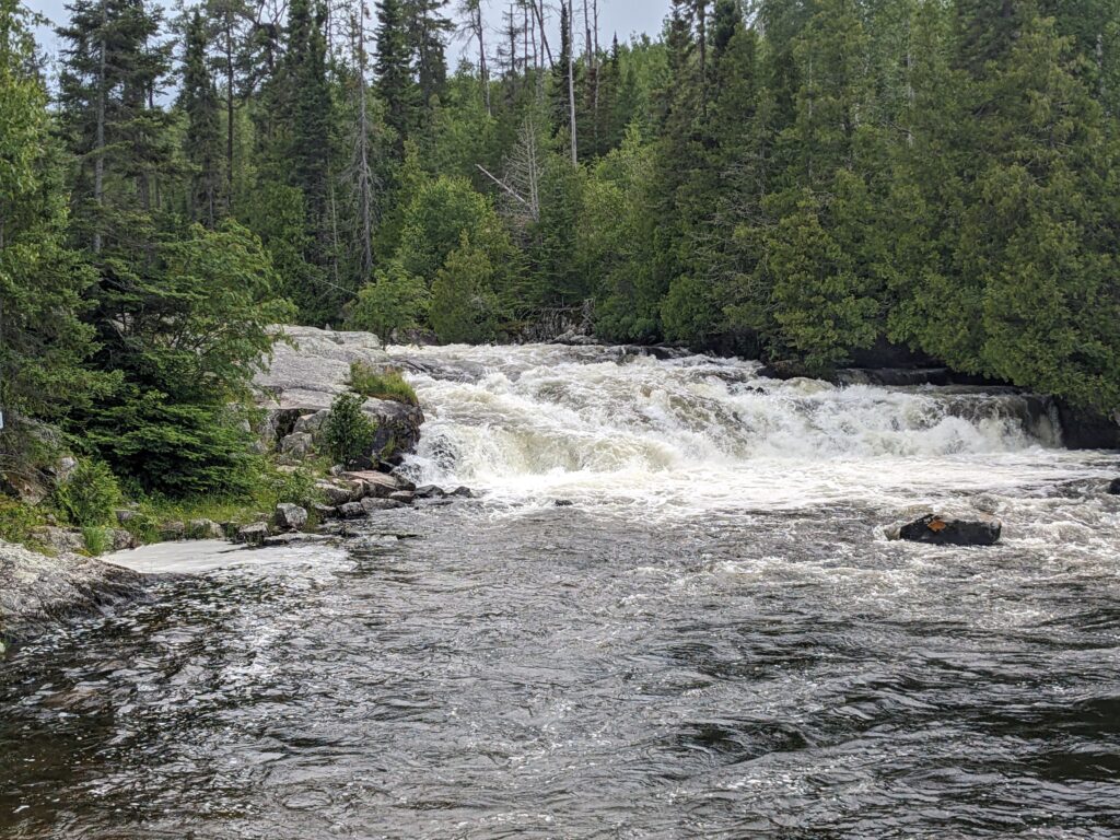
Just north of this area is labeled Devil’s Elbow on the map we had. We couldn’t figure out why it was called that. This is a very pretty section which is not what the name “Devil’s Elbow” would imply. After a quick paddle through the edge of Gneiss, pronounced “nice”, we made our way through a couple more short portages broken up by some longer sections of paddling. The high water level added a third portage in between the two 25 rod portages. It was a bit of a struggle to land due to the moving water, but we powered through! Owen did a great job steering. The next portage we came to is known as Swamp Portage on some maps. It’s about 70 rods and the start of it walks up through a small, cold stream.
The start of Swamp Portage.
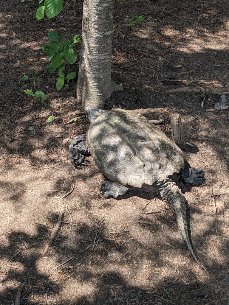
We had been paddling in the sun for around 6 hours at this point, so the cold water felt nice on my feet. After catching up to some other groups, we decided we would try to get a site on Clover Lake. We paddled over to the northernmost site and pulled up on the sandy beach. We were checking the layout of the site when we noticed that the site was already occupied! On the small hill up towards the latrine, there lay, what we assume, was a female snapping turtle prepping to lay her eggs. Upon seeing the turtle, we decided that we would move on. It was 3:30 pm by then. Our options were either portage over to Larch Lake and grab one of the three sites, or paddle on to our exit. We decided to exit. Up and over the 100 rod portage we went, which is the longest one on this route. When I planned this trip over the winter, and in the days leading up to the start, it never crossed my mind that this was going to be a day trip. I had planned for two nights! We could have packed so much lighter! So on we went. It’s amazing how quickly long distances of paddling pass. Eventually we got to Little Rock Falls and portaged around it. From then on it was just paddling through Magnetic and Gunflint Lakes respectively. Up until getting onto Magnetic Lake, the weather had been perfect, but the wind was picking up at this point. We took 45 minutes to paddle two miles. At about 5:45 pm, we finally landed at the public access parking lot on Gunflint. We decided to stop at the Gunflint Lodge for dinner. I had a BLT on cranberry and wild rice bread, and Owen elected to have walleye tacos. After picking up Owen’s car that we left at Trail’s End, we made our way back to Sawbill, pulling in the crew house driveway at 9 pm. Coolest day trip I’ve ever done.
Sawyer
Little Rock Falls.
The roommate we would have had if we stayed on Clover.
7/17/24 – The following is a crew member’s trip report of his and a friend’s time going through the Lady Chain.
7/9/24 – 7/11/24
Day 1)
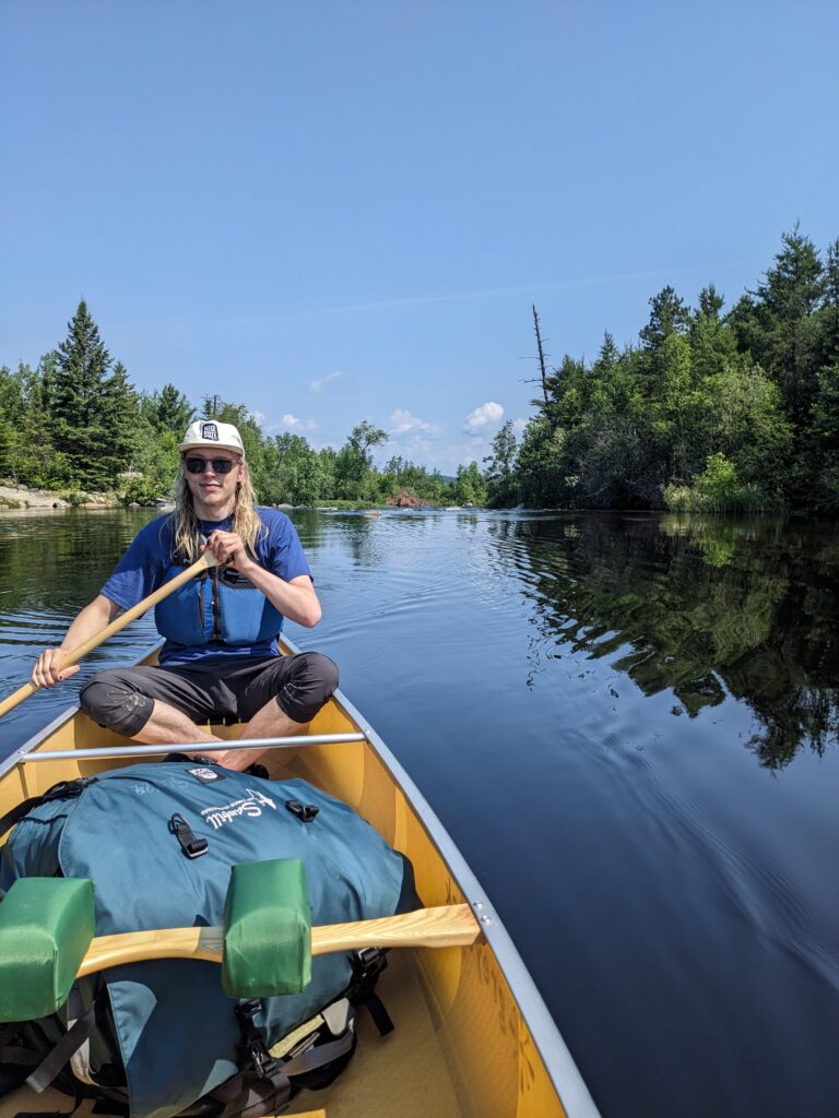
My friend Will and I set off from Kawishiwi both as first timers for the Lady Chain. I have a few trips under my belt so I knew what was ahead of us to an extent, but Will had not been out in the BWCA so he was very excited. The first day flew by fast because of how much there was to converse about. Something about nature brings so much peace and comfortability that enables us to become vulnerable with one another, so it was nice to share deeper conversations with Will not only throughout this day, but throughout the entire trip. Everything was smooth sailing until we came across a few hiccups after the 20 rod portage from Square Lake. We didn’t see the 5 rod portage on the map due to water level, so we went past and eventually ran into a beaver dam. We weren’t sure if we were going the right way because we didn’t see any portages on the map, but it looked like people had portaged around the dam anyway so we followed their footsteps and made it to Kawasachong. After two more longer portages, we were in Polly where we explored several sites before settling for one a bit tucked away but still with a clear view of the lake. We set up camp and enjoyed lunch before alternating between resting in hammocks and going for swims. It was quite an enjoyable site with minimal bugs located directly above the ‘Y’ in Polly on the map. We made it up to Polly in about two hours so it was nice to have a long rest day, but even so we enjoyed the sunset and went to bed early for the long day that awaited us.
Day 2)
Will and I had discussed the general plan for each day, but ultimately it came down to how we felt and how far we wanted to push. This day was a prime example of this. It was a quiet morning for both of us since neither of us are very social in the mornings, but it made for a peaceful start to the day. Over the course of about 4 hours, we hopped over portage after portage through the rivers and smaller lakes between Polly and Phoebe. We tried water from each lake and concluded that the water on Grace Lake was the most clear and best tasting. It was relatively easy-going throughout, but with two people and many portages, the repetitive getting out and back into your canoe each portage eats up a ton of time. Soon enough, we made it to Phoebe where we saw two swans and ate some snacks on the calm water to fuel us for the last leg of the day. We weren’t sure of our plan at this point, so we started looking for sites in Grace but were leaning towards making it closer to Alton. Just to see for ourselves, we checked Ella before Beth and agreed that the sites on Ella weren’t what we were hoping for, so after a 5 ½ hour day, we went on and found the perfect site on Beth next to the Alton portage. It was very spacious with plenty of prime spots for hammocks and an elevated fire pit area. If you paddle out a bit from the site and look out to the West, it almost looked like a sort of stadium where the sun, moon, and stars aligned perfectly for us to watch them. We both agreed that we found one of the best sites we could’ve gotten. After unpacking, we did exactly what we did the last day: ate, swam, and rested until it got dark.
Day 3)
This was the shortest of the days by far. We got to Alton and used that longer paddle time to reflect on the journey a bit. As sad as it was to be returning to civilization, this trip brought us both immense harmony. It showed us the importance of slowing things down for yourself in the busy world we live in. I’ll end this report with a passage from a book I’m reading, Just Passin’ Thru by Winton Porter, that sums up my thoughts nicely:
‘Nature silences a troubled mind because it is so envelopingly slow. Our agitations of mind don’t touch it; our worries pass through it, bounce off it, but can’t disturb it, and eventually they just go away, as though from sheer embarrassment. Without our usual means of winding ourselves into anxiety – the house, the car, the bills, the diet – we simply must find other thoughts, and I think that is why hikers on this Trail speak so often of discovering things they had forgotten and of being reminded of how precious life can be” (Porter 155).