Description
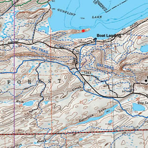
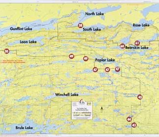
This map details the Mid Gunflint Trail area and the northeastern portion of the BWCA. Including BWCA canoe entry points 49, 50, 57, 58 and 81. For complete Gunflint Lake Depth Map, see Map 4A.
Size: 25″ x 30″
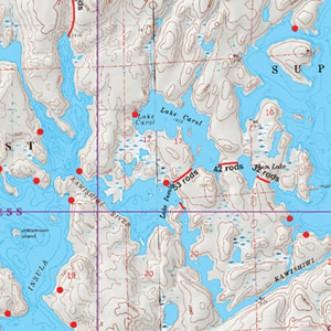
This map is waterproof, topographic, hill shaded, and features trails, portages, campsites, and more!


