Description
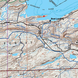
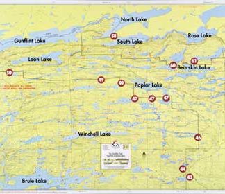
This map details the southeastern area of the BWCA. Including BWCA canoe entry points 38, 39, 40, and 41.
Size: 25″ x 30″
This map is waterproof, topographic, hill shaded, and features trails, portages, campsites, and more!

$9.50
Lakes: Sawbill Lake, Brule Lake, Pipe Lake
Folded falls into a lower shipping fee class, rolled is higher.
This map details the southeastern area of the BWCA. Including BWCA canoe entry points 38, 39, 40, and 41.
Size: 25″ x 30″
This map is waterproof, topographic, hill shaded, and features trails, portages, campsites, and more!
| Map | Folded Map, Rolled Map |
|---|