Description
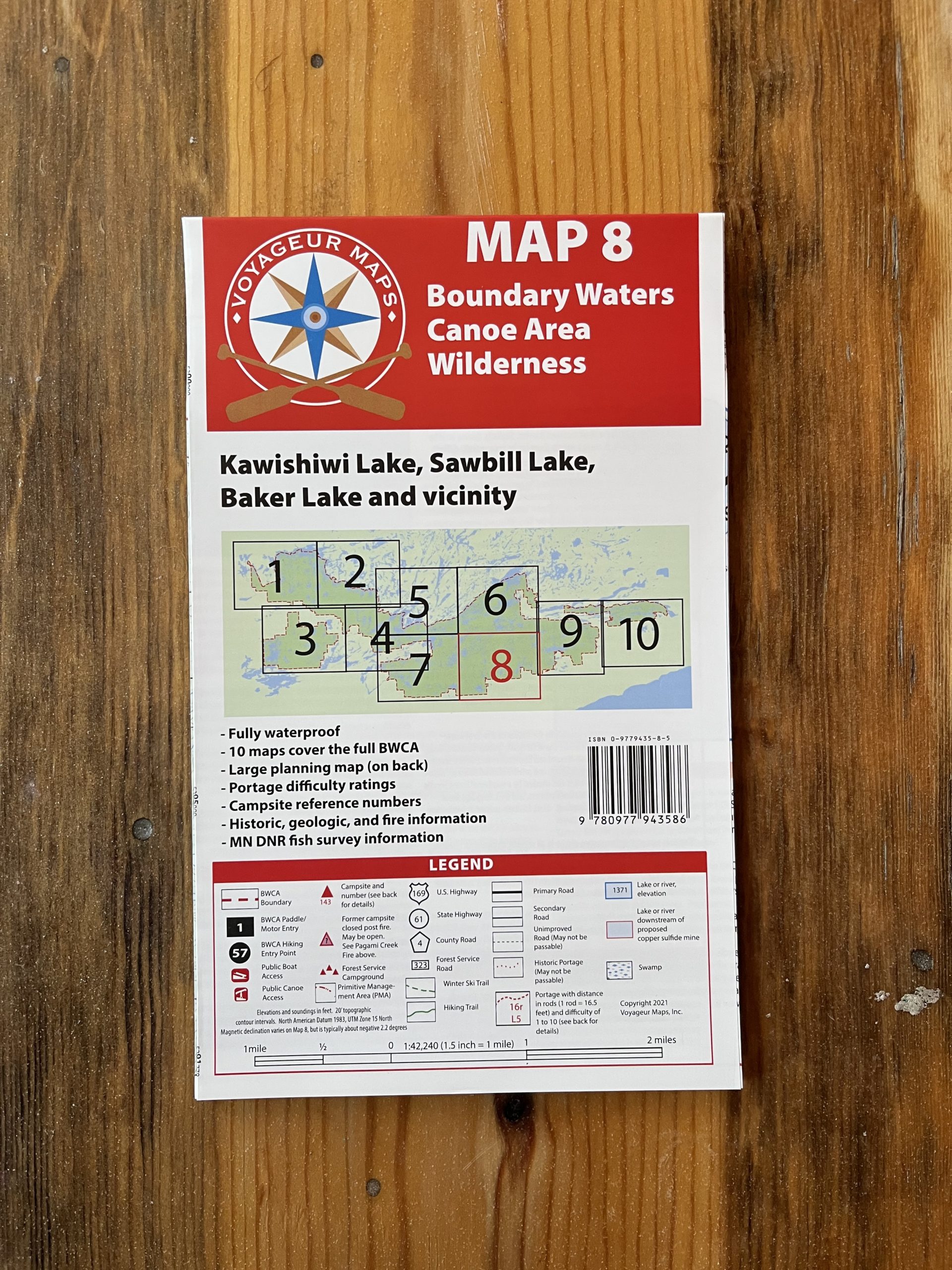
Voyageur Maps are designed to enhance every aspect of your Boundary Waters experience, from planning before your next trip, to executing a fun and safe journey, to remembering and sharing your trip when you return home.
Includes carefully researched and marked portages, as well as “historical portages” that receive little or no maintenance, but are still contained in Forest Service mapping databases. Seasoned Forest Service personnel and area outfitters review drafts of the maps to look for errors in portages and campsite locations. Ski trails, hiking trails, lake depths, and elevation information are also provided. Primary roads are shown, as well as many secondary roads Temporary roads, private roads, and lightly maintained roads are shown only when relevant to wilderness exploration.
Also included; information about natural and human histories, such as logging or fire history, as well as basic fish survey information.
The back of all Voyageur maps contain a large, overview map including a thorough index of Boundary Waters lakes. In addition, information about navigation in the Boundary Waters, safety, rules & regulations, basic entry point information, hiking opportunities, winter activities, fishing, and sources for further information is provided.
Size 39″ x 27″
Waterproof
