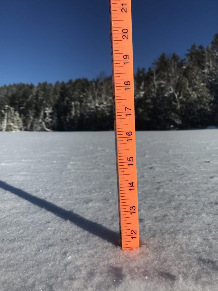
2/25/22 – Last winter was a major snoozer when it came to snow, thankfully not the case this winter! To give an idea, about one year ago I measured 18″ of cumulative snow depth, today we have 36″. -Jessica
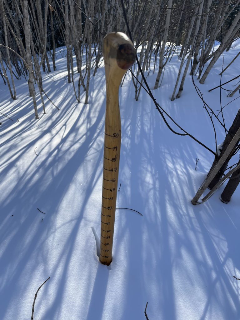
2/25/22 – Last winter was a major snoozer when it came to snow, thankfully not the case this winter! To give an idea, about one year ago I measured 18″ of cumulative snow depth, today we have 36″. -Jessica

2/17/22 – This time of year I really start to notice the sun arching higher in the sky. Not only the added warmth, but the extra daylight is so appreciated. Right now we are gaining a whopping three minutes of extra light every day, which doesn’t sound like a lot, but that’s 21 minutes every week! Time to break out the lawn chair! -Jessica
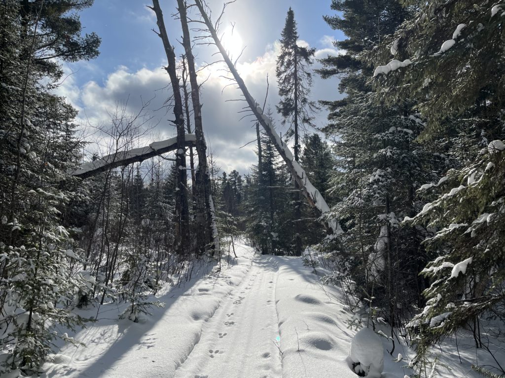
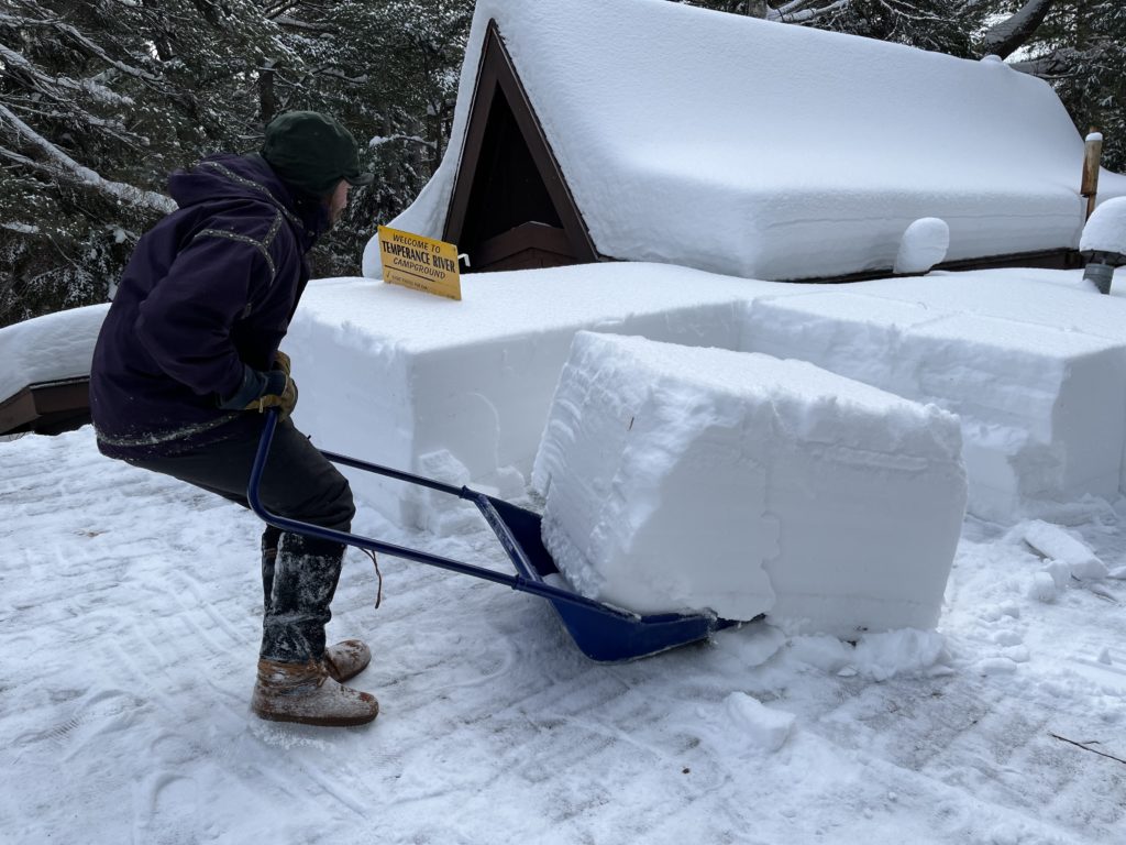
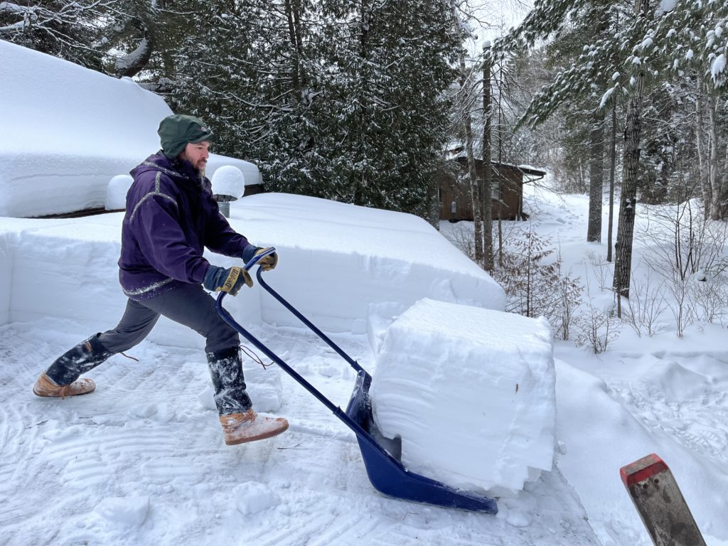
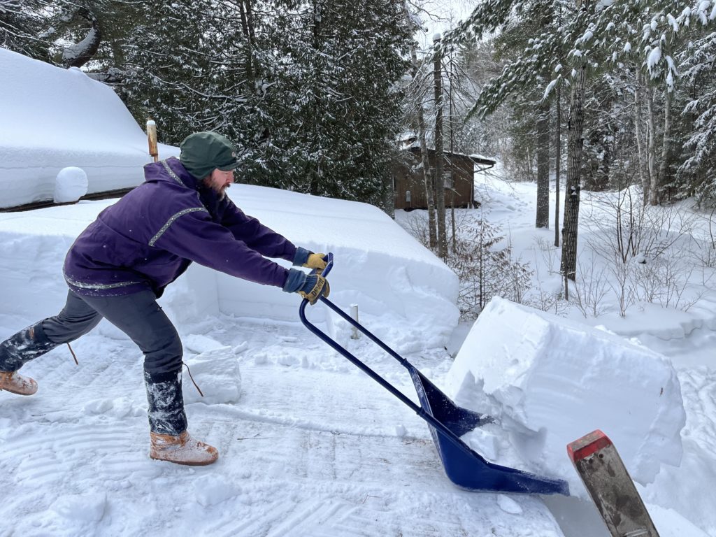
2/9/22 – This past weekend we took a break from reservation processing for the much anticipated snow clearing party held annually on the roofs around Sawbill. The invite list is very exclusive and generally includes Dan and myself. -Jessica
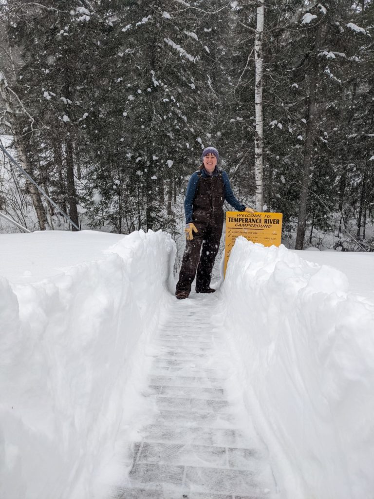
1/17/22 – As we approach the 2022 paddling season, the US Forest Service has made some adjustments to the BWCA Wilderness overnight permit numbers. I’ll post the adjusted permit numbers for the entry points we regularly service, and offer some commentary below.
Permit Quota Changes in the Sawbill area:
Listed here are the updated number of entry permits available each day for each entry point in our area, parentheses show the change from previous quota.
There are many other adjustments to the permit quotas for other entry points, but these are those that will affect our area specifically.
What is the quota permit system? For context, or if you are unfamiliar with the BWCA Wilderness permitting system, entry to the Wilderness is regulated by the overnight paddle permit quota system. That means, that in order to enter the BWCA and camp overnight, you need to reserve a permit for a particular entry point lake for a particular date. There are only so many permits available for each entry point, each day (the quota). Once you have a permit, you cannot “transfer” it to a different entry day or different entry point. You need one permit per group, and your group can consist of up to 9 people (that includes kids). You may ONLY enter the Wilderness at the entry point, and on the entry date, designated on your permit.
Why is there a quota system? The whole purpose of this quota system is to help spread out the usage and groups visiting the BWCA. It helps to spread groups out so that there isn’t a huge amount of people entering every Saturday, and nobody entering on Tuesdays, for example. It also keeps everyone from entering on the same entry point. If all the Sawbill permits are taken for the date you’d like to enter, you may end up booking a permit for Kawishiwi instead, for example, thus spreading out the usage.
So how did the quota get set? The quota permit system has taken a few different shapes and approaches since the Wilderness was established in 1964. The most current numbers, prior to 2022, were based off a backwards seeking statistical model developed in the mid 1970’s. This looked at where paddlers were entering, how long they were staying, and where they were camping during their BWCA trips. Using that data, and factoring in the number of campsites and desired capacity of certain zones, quotas were set. They have been adjusted several times in the past, almost always to lower the number of available permits. We do not know what data, if any, was used to change the quota in 2022.
Why is the quota changing now? The BWCA has seen increased usage in the 2020 and 2021 seasons. Combine that increased usage with fewer Wilderness Rangers due to budget cuts, contactless permit issuance during the pandemic, closed Ranger Stations, and no public contact by Rangers due to Covid, and you have a perfect storm for the BWCA. The lack of enforcement and education directly resulted in an increase in resource and social damage to the BWCA. Travel patterns have also changed. It is much more common today for groups to enter the BWCA, stay on the entry point lake or within one or two portages, and set up a base camp for multiple days and nights. Trips are shorter and folks are travelling less. In an effort to address these issues, the Forest Service is electing to decrease the number of permits.
This is great, right? Protect the BWCA! Sawbill has, and always will be, a business that is 100% dedicated to and dependent on the BWCA Wilderness. Any degradation to the pristine waters, ancient boreal forests, or even to the Wilderness area’s reputation, directly impacts our livelihood (not to mention our souls). We are deeply committed to education as a means to preserve this place we love. Decreasing public access to public lands is no cause for celebration. To know the BWCA is to love it, to love it is to protect it. We acknowledge that it is possible to love a place to death, but restricting access to public land should be a last resort, not a first step.
So what else can be done? We are heartened to hear that locally, the Forest Service is working hard to hire more permanent Wilderness Rangers who will be patrolling the BWCA and monitoring entry points, providing much needed enforcement of the existing rules and regulations. Bad actors who care not for the existing rules are unlikely to change their behavior just because there are fewer quota permits. While this is a relatively small problem considering the relatively high usage in the BWCA, it will be a relief to know that more Rangers are out there holding those people accountable. And speaking of resource damage – remember, only a fraction of the BWCA ever sees people, and only for 6 months of the year at that. Vast swaths of land and many lakes see no human visitation at all. What we are talking about here is limiting our impact on the relatively small areas that do see heavy human use during the peak of summer.
Educate, Educate, Educate! For the rest of us, a focus on inclusive education and shifting expectations is paramount. Welcoming newcomers to the BWCA is what I love best about my job. This Wilderness is unique in its accessibility, it doesn’t require hyper-specialized knowledge or skills. It does require an inherent respect for our collective impact and a high regard for the principles of Leave No Trace. How these principles apply to your specific group will vary, depending on where you are going, who you are going with, etc. You can read up on the 7 principles of Leave No Trace and then talk with an outfitter about your camping plans to make sure you aren’t inadvertently causing damage. As for the shift in expectations, I would caution anyone from planning a BWCA trip and counting on being able to base camp on an entry point lake. Even with the reduced permits, those campsites will remain in high demand. This type of sustained base camping on these high-traffic sites results in a much higher degree of degradation – things like erosion, full latrines, and tree cutting. Set yourself up for success by packing lightly, entering early in the day with plenty of time to find a site, and consider trying a route where you move camp more regularly. If you have your heart set on a base camp, consider other options such as Cascade Lake (outside the BWCA but very nearby), or staying at a National Forest Campground like Sawbill Lake Campground, where you can daytrip into the BWCA to your heart’s content. If you do end up base camping near an entry point, you’ll need to be especially aware and careful of your impact.
How hard will it be to get a permit in the Sawbill area this year? Historically, permits in our area haven’t been all that competitive. It’s hard to predict what the reduced quota numbers will mean for availability this year. Permits go on sale on January 26th at 9am. It’s quickest and easiest to reserve your own permit on recreation.gov, or we are happy to reserve one on your behalf. If you are aiming to go during a holiday weekend, or during the last week of July or first two weeks of August, especially if you are trying to enter on a Friday or Saturday, best to get that permit reserved sooner than later. Outside of holidays and peak season, there are generally permits to be found, especially if you’re flexible on your entry point. Generally speaking, Sawbill Lake and those immediately surrounding it (Alton, Smoke, and Burnt) are quite busy, but if you travel in just a few portages in pretty much any direction, you’ll leave many of the crowds behind.
At the end of the day, the BWCA Wilderness belongs to all of us. I mean that literally. As a federally designated Wilderness area, it is land and water owned collectively by United States citizens and managed by the government. As an outfitter, I do not wish to serve as a gatekeeper to this place. I want any person who wishes, to have the opportunity to experience the magic of a Boundary Waters canoe trip. And I want them to do so mindfully and responsibly so that their children and grandchildren may also have the opportunity.
If the topic of BWCA permits and the history of the quota system interests you (and it must if you’ve read this far) we’ll be hosting a live chat on Facebook this Friday, January 21st, from Noon-1pm. Tune in, or watch the recording, to hear me interview former Sawbill owner (also known as my dad) Bill Hansen on the topic. We’ll go more in depth on the 1970’s study, the history of the permit video, and more.
Clare
1/13/22 – I do love a good cold snap. Something about having to cover every square inch of your skin in order to spend more than 15 minutes outside is something special. This past week the biting cold inspired me to get crafting with ice.
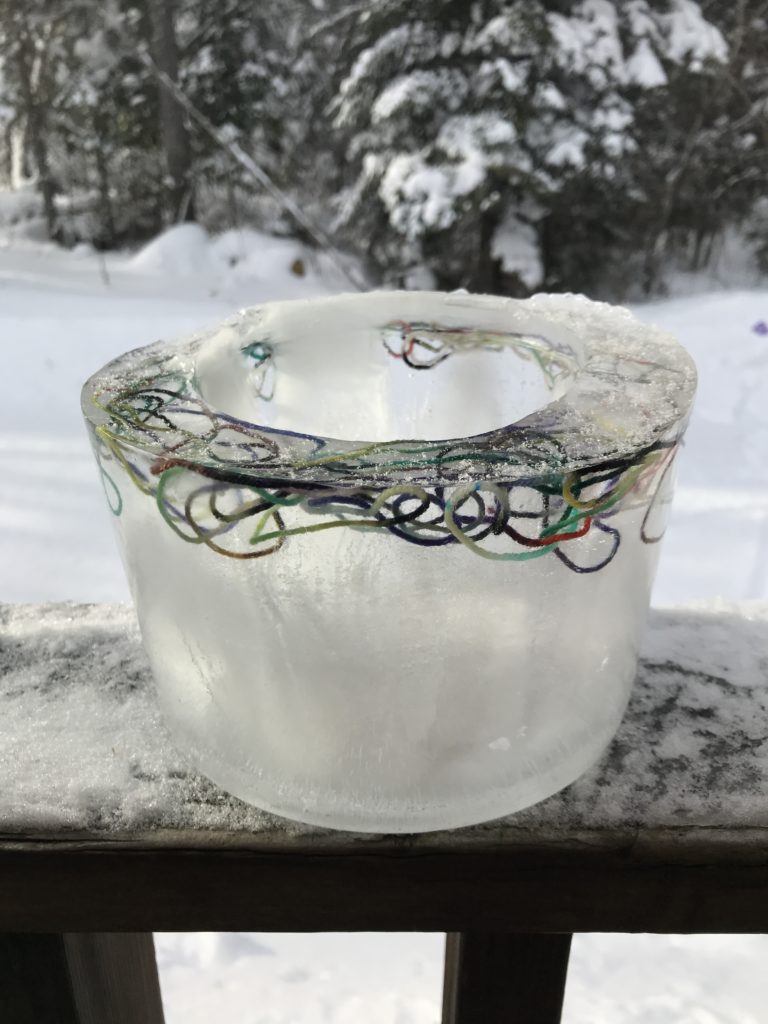
Growing up my grandma would make ice luminaries using an ice cream bucket and a coffee can weighted down with rocks as a mold. I didn’t have any coffee cans on hand, so instead I filled a Nalgene water bottle with dried lentils for weight, and placed it in the middle of the bucket that I then filled with water (the water bottle creates an air pocket in the middle of the bucket where the candle will eventually go). I then left the works outside overnight to freeze solid. In the morning I removed the lentils, filled the Nalgene with warm water and let the whole thing sit indoors until the water bottle and ice cream bucket could be smoothly removed from the ice (slowly running warm water over the outside of the bucket speeds up the process). If you want to get really fancy you can place things into the water before it freezes, for instance I placed some yarn in mine to add a little extra pizzazz when viewed in the daylight.
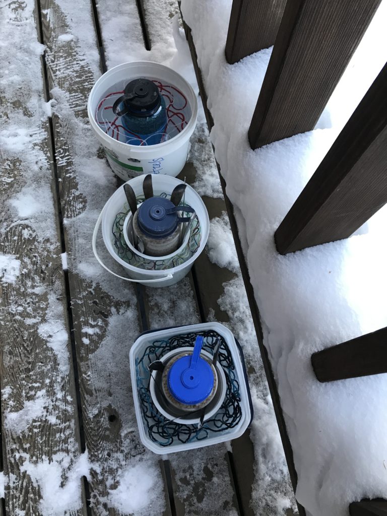
Next up, I tried my hand at using a balloon as a mold. This method required a little more finesse when it came to the timing of removing the balloon, but otherwise involved four easy steps.
Bing, bang, boom, you’ve got yourself an orb ice luminary! This one took me a couple tries to dial in the timing, but even my least successful attempts turned out pretty cool (pun intended).
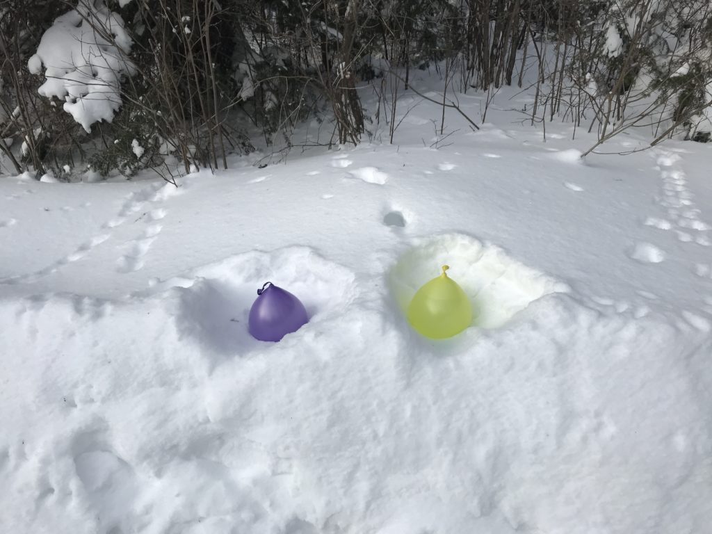
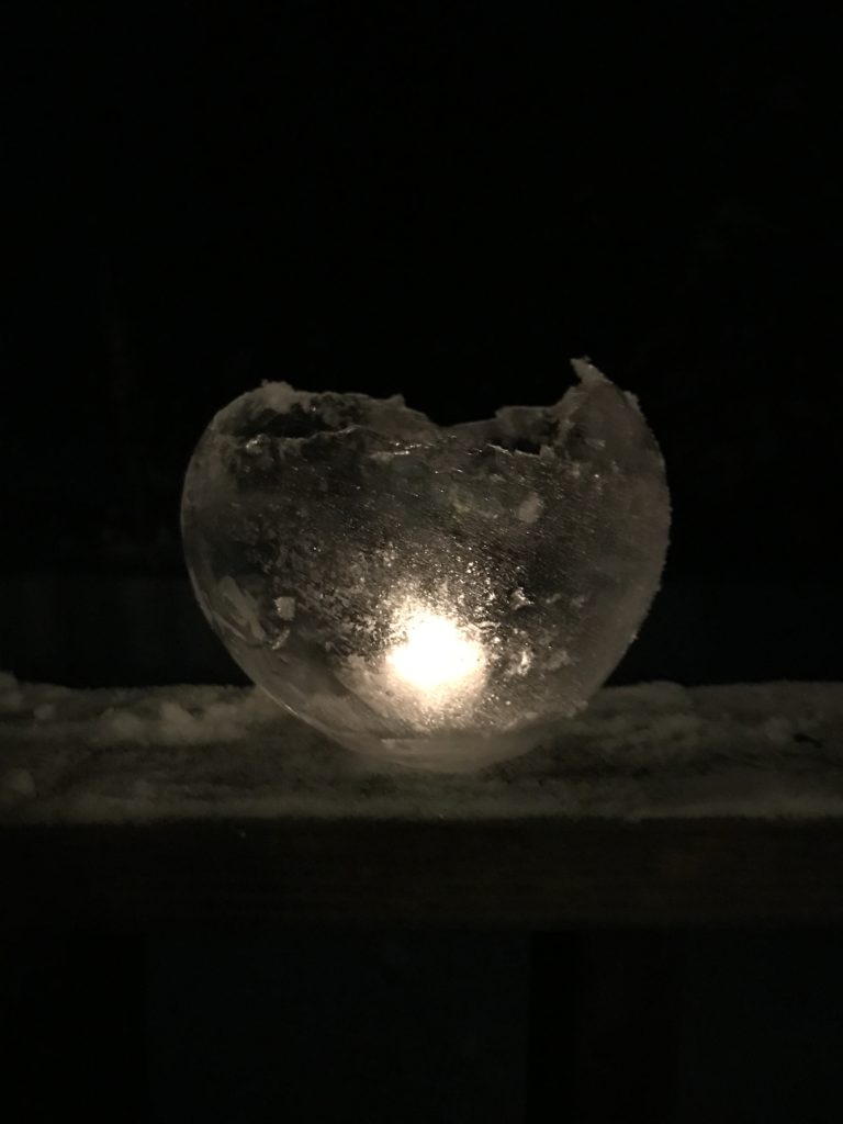
The great thing about crafting with ice is that all you really need is water and freezing temperatures, anything else available after that is a plus. Now that I’ve started, I can’t stop. Before you know it I’ll have enough luminaries to line all 24 miles of the Sawbill Trail. -Jessica
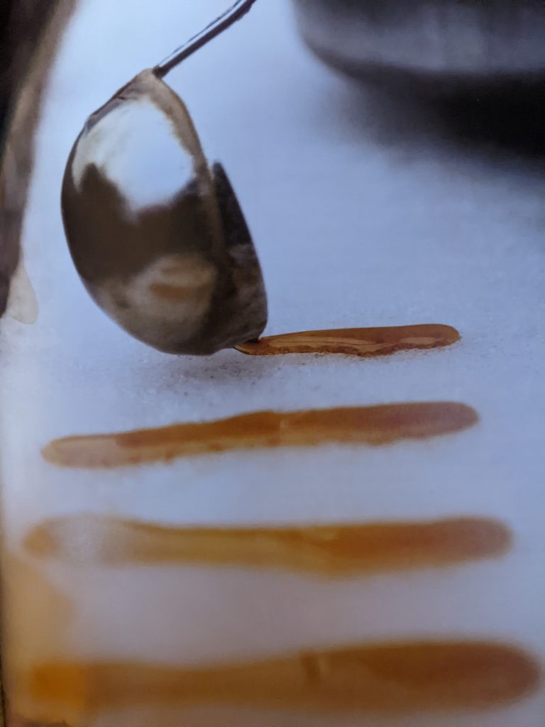
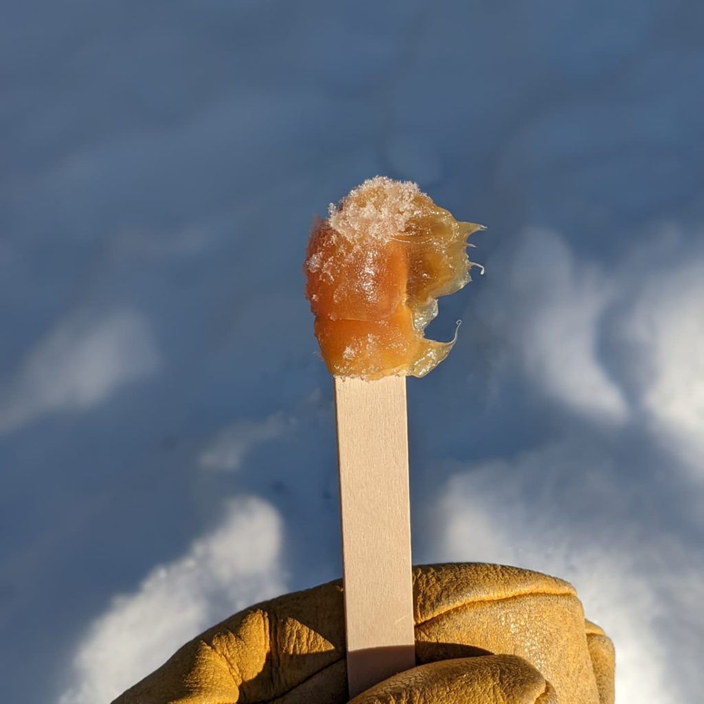
1/4/22 – One of our favorite parts of winter is usually getting to travel. Sometimes that means a beach vacation, other times we escape to other northern climates. Facing another winter of mostly staying put, we are finding ways to remember past trips. One of our favorite experiences in Canada has been enjoying the Sugar Snow, or maple syrup caramel made outside using snow! We decided to try our hand at this special winter treat, and found it to be surprisingly easy.
Maple Caramels – Serves about 4
1/2 cup Maple Syrup
2 Tablespoons butter
Packed snow
Step One: Heat the syrup and butter in a large pot, watch carefully so that it doesn’t boil over.
Step Two: Stir syrup constantly until it reaches a temperature of 234F, I use a candy thermometer or an instant read thermometer. You can also test the readiness by spooning a bit of syrup over the snow. If it sits on top of packed snow like taffy, it’s ready.
Step Three: Pour the hot syrup mixture in ribbons across the packed snow. Place a stick on one end of the ribbon. Let the syrup cool a bit until it is taffy-like, then roll the stick to pick it up off the snow.
Step Four: Enjoy!

We hope you are finding ways to enjoy winter, wherever it finds you!
Clare
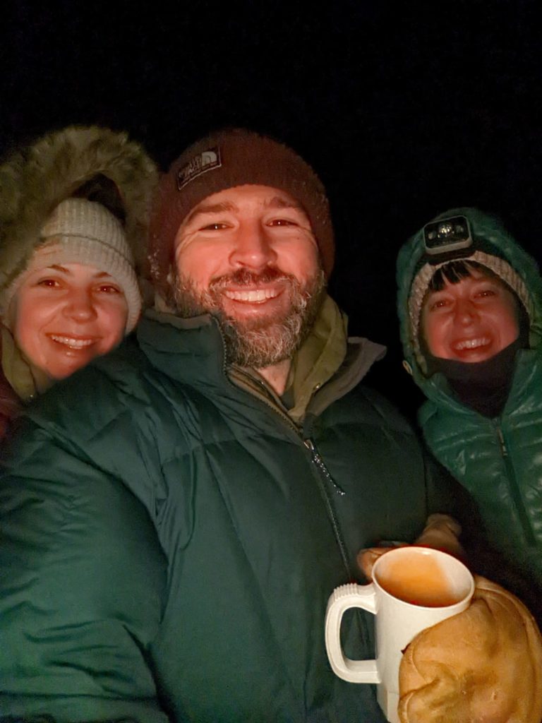
1/1/22 – Per tradition, we rang in the new year on Sawbill Lake under a star speckled sky. Although it was quite cold, cold enough for a tree to make a loud popping sound nearby, it was actually pretty pleasant for the 15 minutes we were down there. -Jessica
This post sponsored by; mukluks, wool socks, long underwear, insulated bibs, down jackets, large furry mittens, neck gaiters, and stocking hats everywhere.
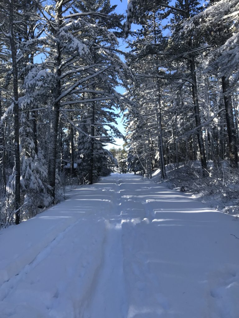
12/29/21 – Blue skies, snow blanketed trees, and looooong shadows. Yep, that pretty much sums up the day. -Jessica
12/21/21 – The tiniest of snow flakes have been falling all morning long welcoming the official first day of winter. I’ll be celebrating the shortest day of the year by taking a moment to wrap up in my most colorful quilt (also known as my only quilt) and knitting my brightest yarn. -Jessica

12/15/21 – A wise person once said, “an evergreen cordial is to winter, as pumpkin spice latte is to fall.”
All you need to make this tasty concoction is…
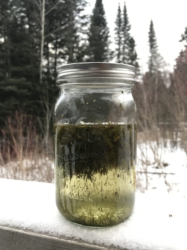
First you tromp around the woods gathering your evergreen tips of choice (I can vouch for both cedar and black spruce). Next, make a simple syrup by gently heating the sugar and water in a saucepan until the sugar dissolves. Place the chopped evergreen tips in a quart mason jar along with the simple syrup and vodka or brandy. Shake well to combine and let infuse for two weeks. Keep out of direct sunlight, shake often, and dream about how delicious it’s going to be drizzled over ice cream. Once the two weeks is up; strain the liquid into fresh glass jars with lids, discard the plant matter, and enjoy! (Recipe from Traditional Medicinals)
Easy as that! -Jessica
