9/12/11- The Pagami Lake fire, which began burning mid-August, is now having a direct impact on the Sawbill area. While the fire itself is still more than 20 miles west of Sawbill Lake, we have been seeing an increasingly impressive smoke cloud in the past few days, and have noticed falling ash as well as a distinct campfire smell in the air.
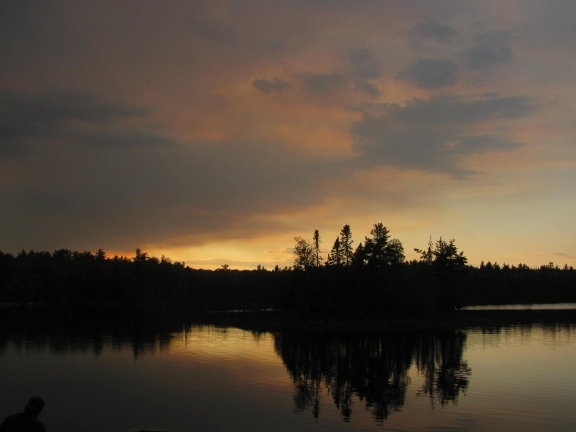
9/10/11-On an otherwise bluebird day, the smoke cloud made for a nice sunset
On 9/11/11 the fire was estimated to cover around 4,000 acres. By this morning, the fire was close to 11,000 acres and growing. It is estimated that by the end of today the fire will cover around 20,000 acres. As a precaution the Sawbill, Kawishiwi, and Hog Creek entry points have been closed temporarily. Canoeists on the Lady Chain and farther west have been evacuated, as well as campers in the Sawbill campground. Also as a precautionary measure, permits for these lakes and reservations for the campground have been canceled until Saturday, and campers will not be allowed entry unless conditions change. As we receive new information, we will continue to post updates on our newsletter.
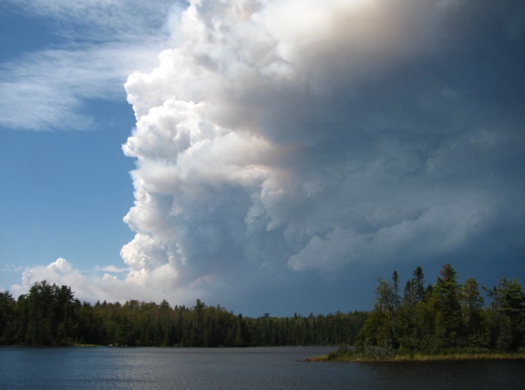
This was the cloud of smoke as seen from the landing on Sawbill Lake mid-afternoon 9/12/11
Currently Sawbill Lake and the surrounding routes are not in imminent danger. The weather forecast calls for rain and cooler temperatures, which will hopefully slow down the progress of the fire as well. For continuing updates and more specific information about entry point closures, fire restrictions, and other details about the fire, please visit this website: http://www.inciweb.org/incident/2534/.
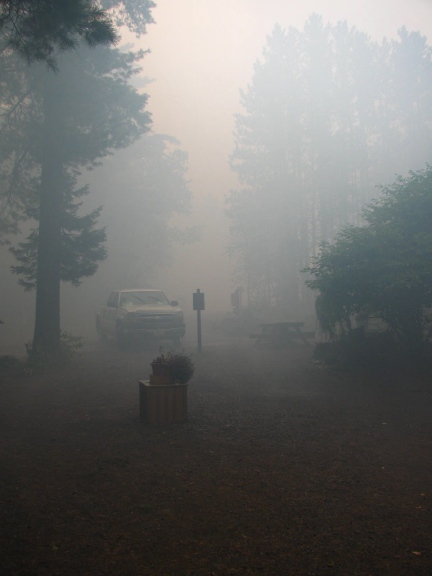
Visibility was low as the smoke settled in late afternoon
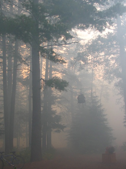
While it looked ominous for an hour or so, eventually the smoke cleared