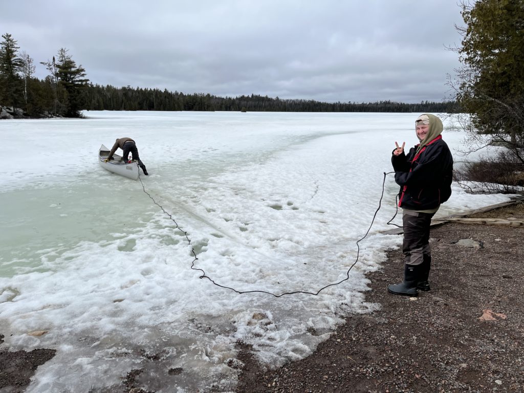
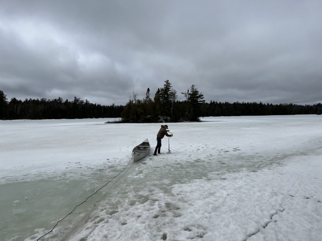
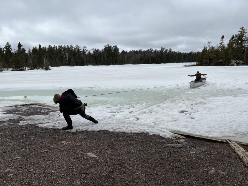
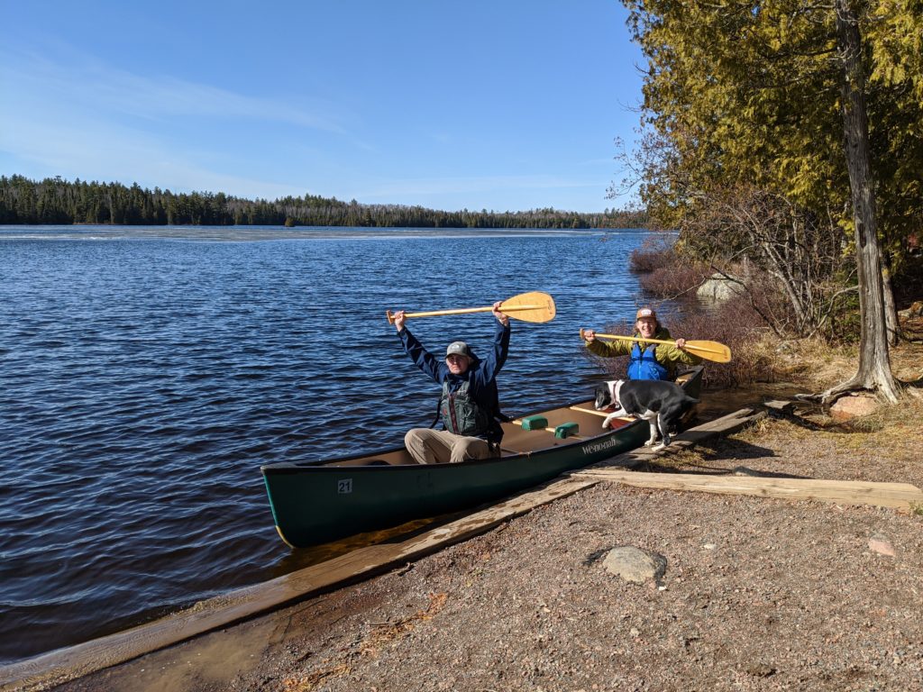
8/30/2021- Every fall we sell our used canoes. This is a great opportunity for our boats to find new, loving homes! So if you or someone you know are searching for a gently used canoe, send them our way! We will be selling canoes through our online store: https://sawbill.com/product-category/used-canoes/
We just sold our first canoe and are excited to to answer questions and prepare the rest of the boats to be sent off. Further questions on the actual process can be found on the blog post below. This blog post talks about replacing the skid plates, the new resin coat, and other repairs we may make before listing the boats!
8/27/21 – While it hardly seems possible, the Forest Service has just announced further closures in the Superior National Forest. In addition to the existing closure of the BWCA Wilderness and the closure area surrounding the Greenwood fire, they have announced a closure of the undeveloped camp spots in the Superior National Forest.
The Press Release states:
“Effective August 27, camping on Superior National Forest lands outside of developed campgrounds will be closed. Day use is allowed on the forest and most developed campgrounds (fee and non-fee) remain open to public use. Please review the Forest Closure Order for a list of open campgrounds.Â
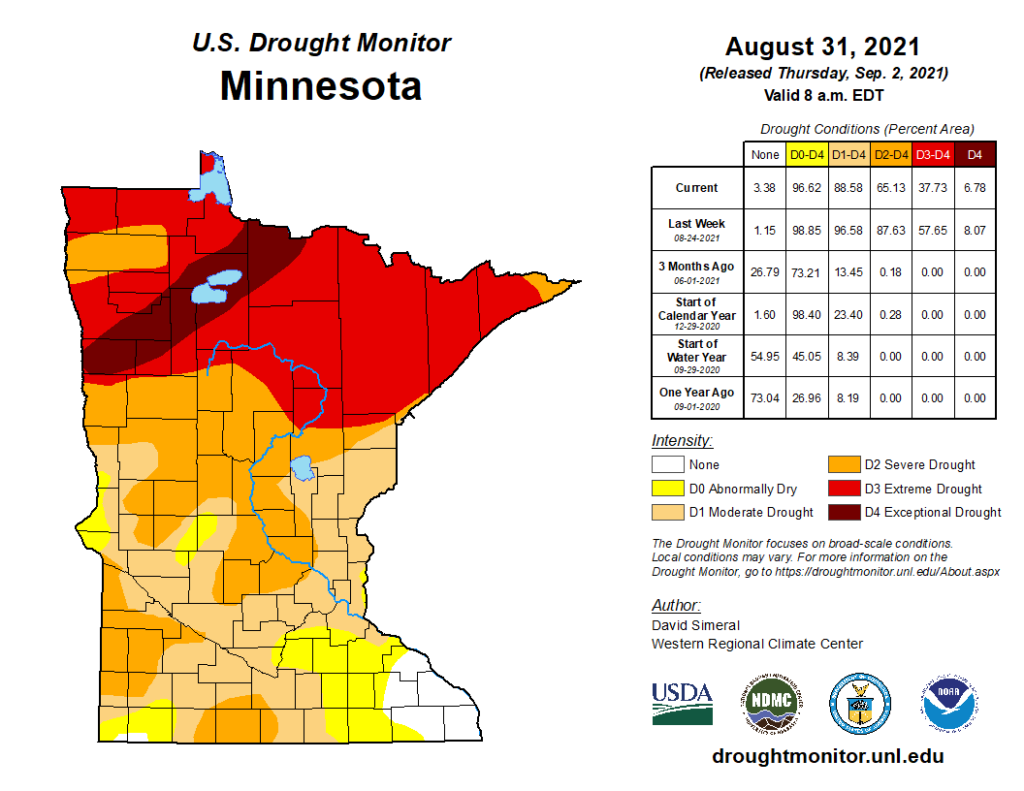
Forest officials made the decision to enact this closure in the interest of public safety as the forest continues to experience severe to extreme drought, high fire risk and multiple active fires.
Closing camping outside of developed campgrounds reduces the possibility of the following:
Search and rescue resources being diverted from firefighting operations.
The need for emergency evacuations should additional wildfires occur.
The chance of illegal campfires. Despite the current fire restrictions, there have been multiple reports of illegal campfires on the forest and several of those illegal campfires have caused small fires on the forest which divert resources away from priority fires.
This closure will be in place until it is safe to lift, forest resources are freed up from firefighting, and likely until the Arrowhead receives a season-ending rain or snow event.
The Superior National Forest is coordinating with the State of Minnesota, who will be implementing similar closures across the Arrowhead Region due to the challenging natural resource conditions.
In addition to this camping closure order, the Forest has several other closures in place for the Greenwood and John Ek fires. Developed campgrounds in those closure areas include McDougal Lake, Little Isabella, Iron Lake and Trails End campgrounds. The Boundary Waters Canoe Area Wilderness is also closed at this time and permits have been refunded through September 3.
Please visit the forest website for more information or call your local district office. “
Now for the million-dollar question: Where can you camp right now? Here’s the list, per the official order:
Devils Track Lake Campground
East Bear Skin Lake
Flour Lake
Kimball Lake
Two Island Lake
Birch Lake
Fall Lake
Fenske Lake
S Kawishiwi River
Echo Lake
Lake Jeanette
Cadotte Lake
Pfeiffer Lake
White Face Reservoir
Big Rice Lake
Crescent Lake
Ninemile Lake
Sawbill Lake
Temperance River
Baker Lake
Cascade River
Clara Lake
Four Mile Lake
Harriet Lake
Hog Back Lake
Kawishiwi Lake
Oxbow
Poplar River
Silver Island Lake
Toohey Lake
Trestle Pine
White Pine Lake
White Fish Lake
Wilson Lake
To be clear, when it says you can camp at Sawbill Lake, Baker Lake, and Kawishiwi Lake, what it means is that the campsites in the established campgrounds are open – NOT the backcountry lake sites that are within the BWCA Wilderness.
In happier news, they were able to put 14 firefighters in on the Whelp fire today. While we haven’t received any measurable rain, it has been overcast, humid, and drizzling on and off all day. This is good firefighting weather, and we are feeling hopeful and grateful for the crew working on the Whelp fire. We were happy to be able to pack food for that crew, and we made sure to include lots of high-calorie, high-carb eats!
We are using our down time to work on some of the used canoes that will be for sale this season. Expect the first batch to go live on the website in a couple of days, with more available as they are done being refurbished.
As always, thank you for following along with us, and please let us know what questions you have.
8/24/21 – Not surprisingly given the very active fire days recently, the US Forest Service has decided to extend the closure of the BWCA Wilderness. Overnight permits for the period of August 28th – September 3rd were cancelled today (and automatically refunded).
The Whelp Fire miraculously showed very little growth over the last few days. It remains at about 50-60 acres. The John Ek fire grew to about 1500 acres, mostly to the east and northeast. There were some new fire starts, the only one near us was about a mile north of Crescent Lake just across the border of the BWCA, it is being called the Petit Fire. It is currently under an acre in size and has a fire crew actively working to contain it. Thankfully, it is in a very accessible area and they anticipate having it contained very quickly.
We continue to be in a safe position, with no evacuation orders imminent. We had a brief 12 hour period, from late last night until this afternoon, of bad smoke from the Greenwood fire. The winds have shifted and thankfully we had clear skies this evening.
8/23/21 – We spent our day yesterday contacting Sawbill customers, fielding phone calls, and talking with the Forest Service. At the moment, the John Ek (renamed after confirming it was a map error that led to the name John Elk) and the Whelp fires are holding steady at about 800 and 50 acres, respectively. A relatively quiet day of fire activity allowed for more accurate measurement and mapping of the fire boundaries.
We are still safe, and are not under any imminent evacuation orders at this point. The Sawbill campground is still open, and the south end of Sawbill Lake is still available for paddling, fishing, and swimming. It’s eerie to have these beautiful, warm, sunny August days with so few visitors to share them with. Air quality has been very good, all things considered. Occasionally you can smell smoke on the air and things get hazy, but it seems to blow through pretty quickly. Today you can’t even smell it.
We are expecting the Forest Service to make a decision whether to extend the BWCA Wilderness closure for the week of August 28th – September 3rd either Tuesday or Wednesday of this week. As soon as we know what their determination is, we’ll be sure to post it here.
8/21/21 – We have just received the official closure notice from the Forest Service. Below is the news release we received and a map of the closure area.
“The Superior National Forest is closing the Boundary Waters Canoe Area Wilderness, effective August 21, 2021, due to active and increasing fire activity, extreme drought, limited resources. The closure will be in place for seven days, and may be modified or extended as conditions allow.
This closure includes all lands, waters, trails, portages, campsite, canoe routes and Wilderness entry points in the Boundary Waters Canoe Area Wilderness. The Forest has notified permit holders and outfitters and is cancelling permits today through August 27. Permit holders will be fully reimbursed. At this time, all overnight paddle, day use and motorized day use is cancelled. The Forest will reopen portions of the Wilderness and/or some uses when it is safe.
We understand that this will have a significant impact on our visitors, cooperators and communities near the forest. This emergency closure is necessary for the safety of our visitors, our wilderness rangers and our fire-fighters. It allows our fire crews to focus on responding to existing fires and new starts.
Northern Minnesota is facing severe to extreme drought conditions. Active and increasing fire across the landscape. Yesterday, the John Elk Fire grew from 3 acres to 1600 acres and the Whelp Fire grew from 30 acres to at least 80 acres. The Forest has ordered a Type 3 team to respond to the John Elk Fire. Although the Greenwood Fire is being managed by a Type 2 Eastern Area Incident Management Team, forest resources are working with and assisting the team with the 9,000-acre fire. There are additional fires on the Superior and Forest staff are responding to initial fire starts and monitoring fires that are in controlled status including the Bungee Fire, Fourtown Fire, Sundial Fire, Moose Lake Fire, and the Clara Fire. Additionally, the Forest is monitoring the fires in Canada, which continue to show movement towards to the US border. The Forest is coordinating with Ontario counterparts on these fires.”
If you had a trip planned to begin in the next week, you have some options if you’d like to still salvage a camping vacation. The Sawbill Lake, Crescent Lake, and Temperance River campgrounds that we manage are still open. Crescent is not within the BWCA, so it is entirely open for paddling (it’s also a great walleye lake). The southern portion of Sawbill, outside of the Wilderness, is open for paddling.
There are a few other options for remote camping and paddling in our vicinity in the Superior National Forest, including the Timber Frear loop, Cascade Lake, and Lichen Lake. If you’d like to talk about any of these options we are happy to help you make use of those vacation days.
In the event you would like to cancel your reservation for canoes or equipment with us, please give us a call or an email and we will process it as soon as we are able.
Thank you for your flexibility, your well wishes, and for hanging in there with us!
8/21/21 – We know there’s lots of news swirling around right now about the expanded closure of the BWCA Wilderness. We have been notified that there is a forthcoming closure order, but we do not have the official notice in hand yet. As a general rule, I won’t post about the details of an order until I see it in writing and signed by the Forest Supervisor. Things are happening quickly, and there are many considerations and changes taking place up until the moment an order is signed. In an effort to circulate only accurate information we will wait until we can see for certain what the details of the closure are. Once we know, we will be sure to post about it here.
Thank you for hanging in there with us! Stay tuned…
8/20/21 – Official orders have come from the Forest Service expanding the closure within the BWCA in the Sawbill Area (see map below). Due to the high-traffic nature of the closed area, overnight paddle permits for the Sawbill Lake Entry Point (EP38) have been cancelled through August 23rd. If you had a permit for Sawbill Lake Entry Point (EP38) for August 21st, 22nd, or 23rd your permit has been cancelled and you will receive a refund directly from the Forest Service. It is possible that this closure will extend through the 26th. Stay tuned for that update should it happen.
What are your options? At this point, there are no overnight paddle permits available at the other entry points in our area for those dates. These entry points are not closed they are just sold out.
Option 1 is to cancel your trip altogether. If you had a deposit for a canoe rental with us we will waive our usual cancellation policy and refund your deposit in full at your request.
Option 2 is to come to Sawbill, camp in our 50 site campground on site here and take day trips into the BWCA. Day trips on Sawbill Lake are still allowed, as well as day trips north of Sawbill and east of Sawbill. Day tripping into Smoke and Burnt or up towards Cherokee, in other words, is still fine. Day use permits are free, self issued, and unlimited. At this time, the Sawbill campground has plenty of open campsites.
Option 3 is to come pick up your rental canoe(s) and head to an area of the Superior National Forest outside of the BWCA. Canoe routes outside of the Wilderness, such as Timber Frear, Cascade Lake, Crescent Lake, and the like are all open and do not require a permit to access. You can call us or the Tofte Ranger Station to discuss these alternate route options.
It is my understanding that this closure was prompted by some growth on the Whelp Fire. It was around 15 acres at last report, but had grown by 10 more acres as of this morning so it is somewhere around 25-30 acres in size right now. With the hot, dry, windy days ahead the fire conditions are critical for the next 48-72 hours. The Forest Service is continuing to attack the fire from the air with water drops from planes and a helicopter. The fire is not currently burning any established routes or campsites. Again, safety of people is paramount, so the prudent thing to do is get the area clear of visitors so the firefighters can focus all their efforts on containing this fire without worrying about the potential for evacuations.
We so appreciate everyone’s flexibility and kindness. This is not an ideal situation for any of us. We regret the cancellations for those of you who have been planning and dreaming of your 2021 Boundary Waters trip. We hope we can help you salvage a vacation, or else catch you next year. Please accept our heartfelt thanks as well to everyone who has reached out to offer help, moral support, and who is sending us all the heavy rain vibes from afar. We can feel the love.
We will update as we know more, so keep your eyes on this space over the next few days.
8/20/21 – Hi folks. We just got word that there will be more closures affecting Sawbill and the surrounding area due to increased activity with the Whelp Fire last night and this morning. We are waiting to hear the specifics of the closure and will be posting here as soon as we know. Please refrain from calling us at this point, we will post to this newsletter as soon as we know more.
8/17/21 – This evening, the US Forest Service issued an order closing a portion of the BWCA Wilderness in our vicinity. In this post I’ll share some information about why it’s closed, what area specifically is affected, how campers who are out there are being notified, and some tips for Boundary Waters tripping during this dry wildfire season.
Why is this area being closed? One of the main priorities of the Forest Service when dealing with wildfire management is safety of people. Primarily, fire fighters and the public. The Whelp Fire, which is 4 miles west/northwest of Sawbill, is in a remote part of the Wilderness. No fire-fighting cress have been sent in due to difficult access, limited aircraft resources, and safety concerns. The Louse River is a particular challenging route, with only one way in and one way out. Winds prevailing from the south have the potential to push the Whelp fire towards the Louse River. While the Louse River is not currently burning, it has the potential to, and an evacuation of that area would be particularly onerous. The area is, therefore, being closed out of an abundance of caution.
What area is closed exactly? The closure affects Hub Lake, Mesaba Lake, Dent Lake, Chaser Lake, Bug Lake, Louse Lake, Louse River, Poe Lake, Mug Lake, Wine Lake, Frederick Lake, Hug Lake, Duck Lake, Zenith Lake, Trail Lake, Boze Lake, Frond Lake, Lujenida Lake, and all other lands, waters, portages, and canoe routes within the Wilderness as shown in the map below.
My family entered out of Sawbill recently, how do I know if they are safe? Two Wilderness Ranger crews are currently paddling the entire closure area notifying campers. The Whelp fire is currently about 20 acres and burning deep in the forest, not along any easily accessible canoe routes or near any campsites. No one is going to happen across this fire as it is right now, unless they bushwack miles into the dense woods. The Louse River is a very challenging route, even more so due to the drought. We have sent very few groups that direction in recent days. Those who are affected by the closure are not in imminent danger, but are being asked to move out of the area to create a “people-free” buffer should the fire spread to the north, thus saving precious fire fighting resources from potentially complicated evacuations. To the extent anyone is having to exit the Wilderness at an unplanned entry point due to the closure, we are working with the Forest Service to identify those groups and planning to pick them up and get them safely transported back to Sawbill.
Is the smoke terrible up there right now? No. The smoke isn’t any worse, generally, than it has been this whole season. There’s almost always a slight haze way up in the atmosphere, and occasionally the winds will shift and we will smell smoke for several hours to a couple of days.
Do you anticipate any more closures of the Sawbill area or surrounding entry points? At this time, I don’t foresee any additional closures unless conditions change dramatically. If the winds were to shift and come from the West, we might see increased fire growth in our direction. We are in daily contact with the Forest Service and are hopeful that we will get as much notice as possible when and if there is any increased risk to our area.
If you are planning a Boundary Waters trip anytime between now and the end of the 2021 paddling season there a few things you can do to be better prepared given the dry conditions and heightened risks of wildfires.
Plan to cook over a pressurized fuel cookstove with an on/off switch. The current fire ban prohibits campfires, charcoal grills, twig stoves and most alcohol stoves. If you are a smoker or someone who enjoys a cigar while in the BWCA, be extremely cautious about where your ash falls and how you extinguish your smoke.
If you encounter an area that is burning, do not engage with it or try to extinguish it. Your best bet is to exit the area, travel away from the fire, and inform the Forest Service as quickly as possible as to the exact location. Fires can become volatile very quickly and your safety is paramount.
Bring maps that cover the area around your intended route. If you find yourself suddenly needing to reroute due to a closure, it’s helpful to have the correct maps on hand.
Leave a route description with someone back home or with your outfitter. Make sure someone knows where you are planning to enter and exit the Wilderness and give them as detailed description as you can of where you plan to travel during your trip.
Check in with an outfitter or a Ranger Station before you head in. We will be posting here with any updates relevant to the Sawbill area.
That’s the update for tonight, stay tuned to this page for further updates as we navigate the rest of this paddling season!
8/17/21 – Communications during wildfire season can be challenging. There are many stakeholders to inform, fires are dynamic, and the situation is always changing. We are very lucky here in Cook County to have good working relationships between agencies, and are additionally privileged to have an exceptional local radio station. WTIP (90.7) has been staying up to date on fire conditions in the area, with a number of key interviews providing insight.
This morning WTIP interviewed the Tofte District Ranger Ellen Bogardus-Szymaniak. Click here to listen to her update on the fires in our area.
We are expecting to receive an order closing the Louse River route today. We will post details when we know what the exact boundaries of the closure are. It is important to note that these closures are done in an abundance of caution. The Louse River is not currently burning. Because of the difficulty of that route and the limited exit options, closing the area is the prudent thing to do. A Forest Service wilderness crew is currently sweeping the route to inform any campers in the area.
The Greenwood fire, near Isabella, continues to make headlines as it grows quickly. None of the closures or evacuations from this fire are in our immediate area.
I highly recommend listening to the WTIP story linked above. It is a succinct and clear description of the situation as it stands this morning. If you are so inclined, you can donate to our small local radio station here. This valuable local resource is certainly worth the support, in my opinion!